
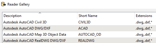
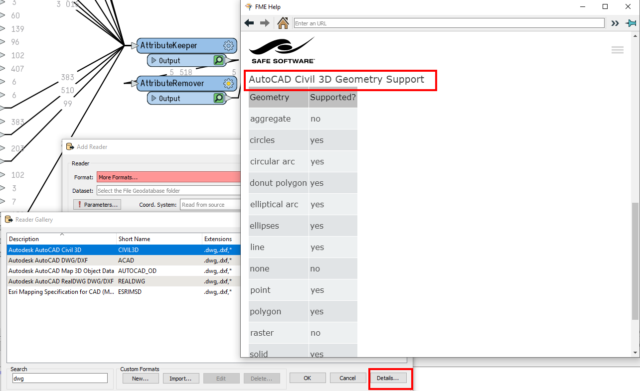
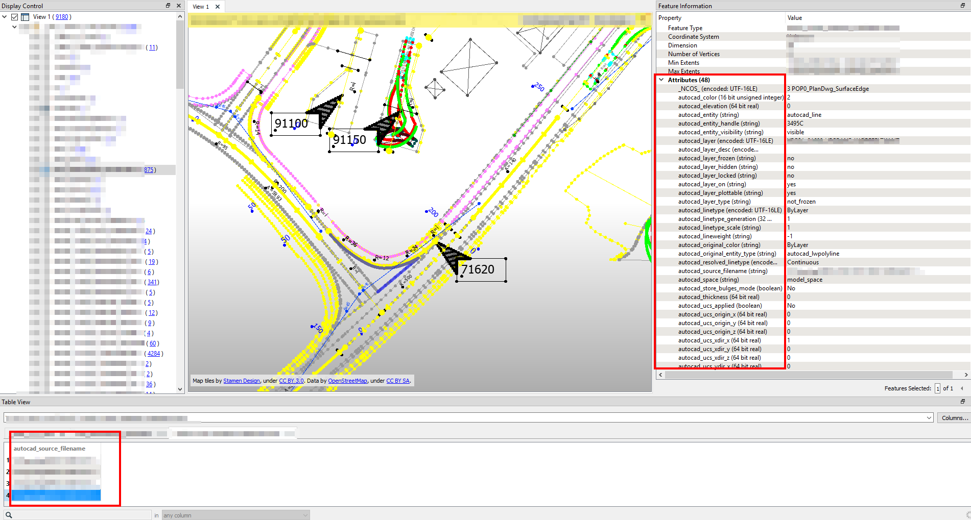
I work for the US Archives and we need to convert DWG into a format like GML or Shape. However, we have lost text, legend information and other items.

Any ideas?

Thanks,

Brett

Could be heaps of things...Model or Page Space, details stored in features, etc. I would confirm that it isn't in the Paper Space first, which is just ticking checkbox under the DWG parameters.


And remember there is no text geometry in things like shapefiles.


If you want to share a sample drawing and the FME Model, I would be happy to see if I can help as we are doing a similar thing taking a DWG, validating and storing in a database but the output could be to a range of options.


Hi @blabrams_nara - some sugggestions below how to be a FME Detective!

To get an overview I suggest you atleast read everything about the 4 different DWG readers:


Simplest is to select one of them, click Details and then QUICK Facts in the right column. There you can see which geometries are supported and also which parameters can be changed. You might have to "play around a bit" to get the desired representation of the features and to get all the attributes.


Also when you use the FME Data Inspector you do not see "all attributes" at the bottom of the Screen (Table view) but you need to click a feature and then look at the Feature Information:


If you want to share a sample drawing and the FME Model, I would be happy to see if I can help as we are doing a similar thing taking a DWG, validating and storing in a database but the output could be to a range of options.

Good Morning Dean:

Thanks for the offer. This is one file I've attempted to preserve in another format.

2222 - NIH.F1 - Building 1 TREMCO Roof Plan - 02.24.03.DWG


Good Morning Dean:

Thanks for the offer. This is one file I've attempted to preserve in another format.

2222 - NIH.F1 - Building 1 TREMCO Roof Plan - 02.24.03.DWG

Hi, I am seeing both the same labels in AutoCAD and FME. So I wonder if you are doing a straight transformation and therefore, as neither shapefile or gml hold text/annotation, then you will get points?

You can use the TextStroker to turn the labels to polygons to store them in shape or GML iof you need too.


Reply