


Hi, I need help and guidance. I have 2 questions.
1st. I've been using the GeometryValidator transformer and selected the OGC standard checks. When I run it, all my geometry fails. How can I check what is failing and how to fix it? If possible, please provide an example of how to fix it.
2nd. I've read the OGC Geopackage standard and found that there are some tables that need to be included in the Geopackage file, such as gpkg_spatial_ref_sys and gpkg_contents Table. Is there an automatic way in FME to create these tables, or do I need to do it manually?
Hereby, I am attaching the file for your reference, tqvm all.

")

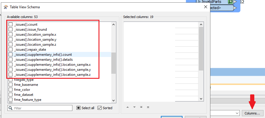 Looks like this in your Table View
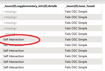 If you set Attempt Repair in the GeometryValidator to Yes, most issues will be solved. If not you can probably find most information needed to repair the issues yourself in the aforementioned fields.


