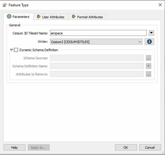
I have created a workspace that converts shapefiles (.shp) into Cesium 3D Tiles using the Cesium3DTiles writer. It works pretty well but I'm wondering if I can control how my geometries are broken up into tiles.
I've played around with the area and volume calculator to set the cesium_priority property to control when tiles should appear at different zoom levels but I see tiles that span the whole US for instance and I want to sub divide the tile based on a grid or maybe an attribute. Is something like that possible?
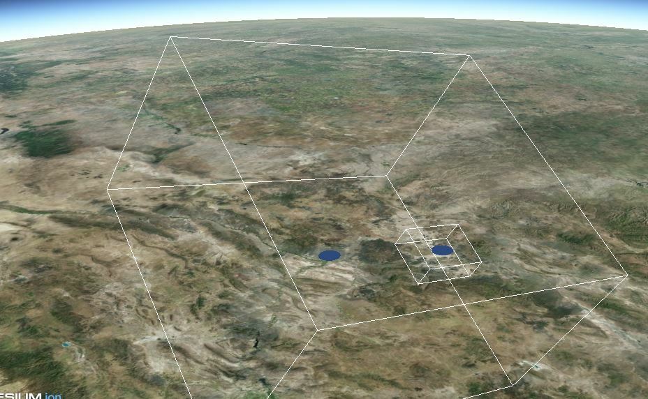
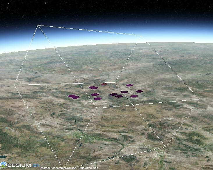
This picture shows a volume that spans the US that may have some geometries on the west and east coast. Instead I may want a tile for the west coast and another tile for east coast at this zoom level. I can provide my workspace if needed. Thanks!


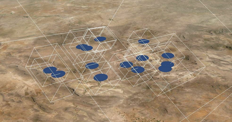
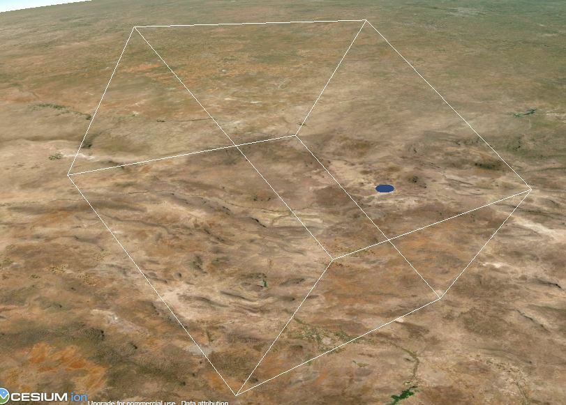 As you zoom in, other tiles start to appear and the bounding volume loosely relates to the priority. It seems likes some tiles have the same bounding volume