(English translation below)
Bonjour,
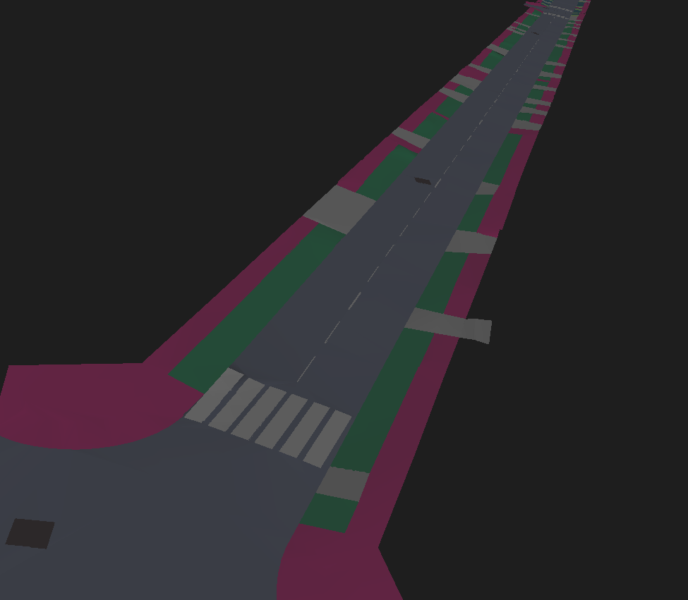
Dans le cadre d'un projet, j'ai pour objectif de créer une routine permettant de convertir des plans topographiques et de réseaux enterrés en modèle 3D au format IFC.
J'ai commencer à chercher, mais il semble y avoir à la fois beaucoup de possibilités et à la fois aucune que j'arrive à faire fonctionner.
Je vous explique un peu mes données d'entrées. J'ai :
- Plan topographique, dessiné en 2D, contenant des points topographique avec attribut (altitude).
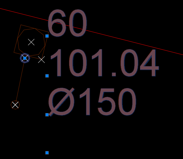
- Plan de réseaux enterrés avec des étiquettes (bloc ou texte) contenant des attributs divers (nature du réseaux, profondeur du réseau, type d'élément (fourreaux, câbles, canalisation...), altitude de la génératrice supérieur, ect.).
- Nuage de point
j'ai donc plusieurs besoin :
1/ Il faut que j'arrive à faire que mes polylignes représentant mes réseaux (polyligne 2D - Z=0) remontent à la hauteur où elles sont vraiment (soit hauteur TN - Profondeur ou Z de la génératrice supérieure (à laquelle je soustrait la moitié du diamètre si la valeur existe)).
Une fois cela effectué il faut que ces polylignes (3D) aient aussi les attribut de nature, de classe, ect.
Que je transformerais en objet 3D avec un buffer. Ensuite il reste à trouver comment exporter au format IFC.

2/ J'ai trouver comment découper mes surfaces (MNT), par nature de sol en découpant un mesh obtenu à partir de la classification du sol de mon nuage de point. Pour cela j'utilise TINgenerator, ça marche assez bien mais lorsque je découpe, j'ai des bugs parfois. (écarts en Z entres certaines zone de maillages. Et parfois j'ai même des aberrations sur mon MNT (sommet à 0))
Je ne sais pas comment exporter cela en "IFCsite"

3/ Pour les objets ponctuels, j'aimerais remplacer les blocs de mon dessin par des objets IFC que j'ai dans ma bibliothèque. Par exemple, je voudrais que mon bloc "arbre" soit remplacé par un "arbre-standard.ifc". (je ne sais pas si c'est possible).
Si vous avez des idées ou des solutions j'apprécierais énormément un peu d'aide !
Merci.
-----------------------------------------------------------------
Hello,
As part of a project, I want to create a workflow to convert topographic plans and buried networks into 3D models in IFC format.
I have started to search, but there seems to be both many possibilities and none that I can make work.
I'll explain a bit about my input data. I have :
- Topographic plan, drawn in 2D, containing topographic points with attribute (elevation).
- Plan of buried networks with labels (bloc or text) containing various attributes (nature of the network, depth of the network, type of element (ducts, cables, pipes...), altitude of the upper portion, etc.).
- Point cloud
I have several needs:
1/ I need to make my polylines representing my networks (polyline 2D - Z=0) go back to the height where they really are (that is DTM height - Depth or Z of the upper portion (to which I subtract half the diameter if the value exists)).
Once this is done, these polylines (3D) must also have the attributes of nature, class, etc.
That I would transform into a 3D object with a buffer. Then it remains to find how to export to IFC format.
2/ I found how to cut my surfaces (DTM), by nature of ground by cutting a mesh obtained from the classification of the ground of my point cloud. For that I use TINgenerator, it works quite well but when I cut, I have bugs. I have gaps in Z between some mesh areas. And sometimes I even have aberrations on my DTM (vertex at 0). I don't know how to export this to "IFCsite"
3/ For the point objects, I would like to replace the blocks of my drawing by IFC objects that I have in my library. For example, I would like my "tree" block to be replaced by a "standard-tree.ifc". (I don't know if this is possible).
If you have any ideas or solutions I would really appreciate some help!
Thank you.
