Hi,
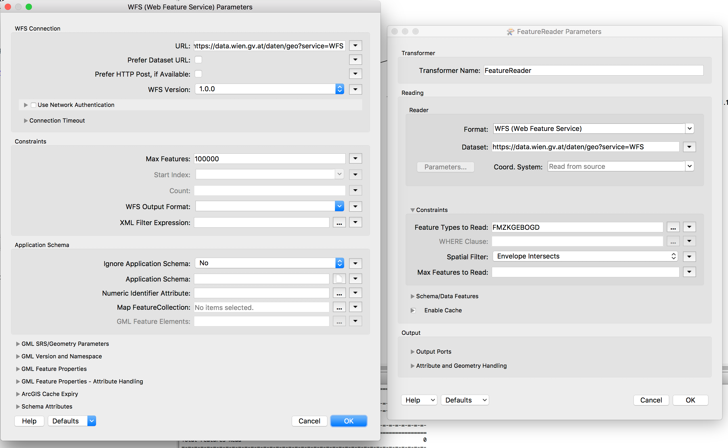
I would like to create a workflow to download and merge vector data from a WFS. The city of Vienna provides building footprints in shape format via WFS. Due to the large filesize it is recommended to reduce one download to a tile of 2x2 kilometers or smaller. As I need the complete dataset I try to create a workspace to download all tiles with getfeature requests (e.g. https://data.wien.gv.at/daten/geo?service=WFS&version;=1.0.0&request;=GetFeature&typeName;=ogdwien:FMZKGEBOGD&outputFormat;=shape-zip&SRS;=EPSG:31256&BBOX;=2748,341794,4516,343209) and then merge the tiles into a File GDB. Is it possible to dynamically create the request by inserting the necessary bounding box coordinates and then merge data directly out of a ZIP file. Thanks for any help.


