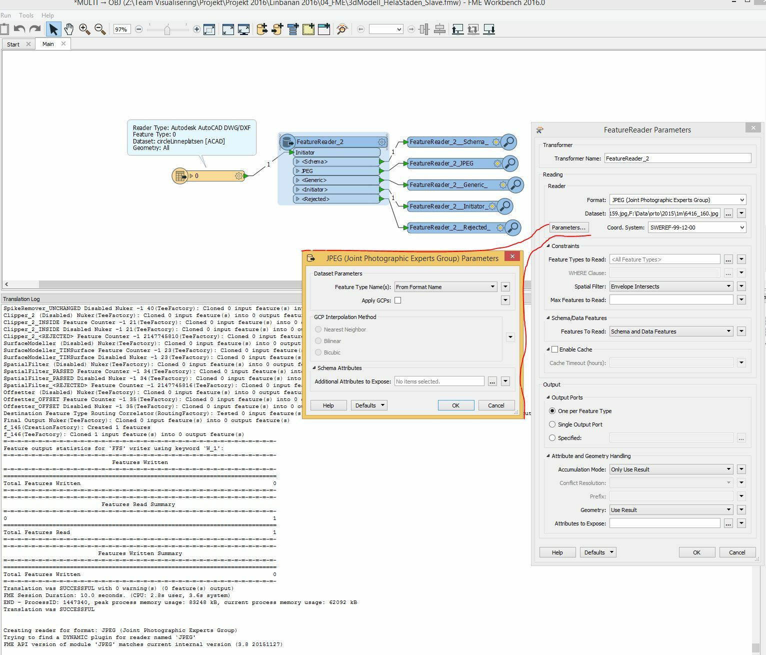
I have a few hundred ortho-jpgs, but i want to be able to read only the ones that intersects or are within a polygon.

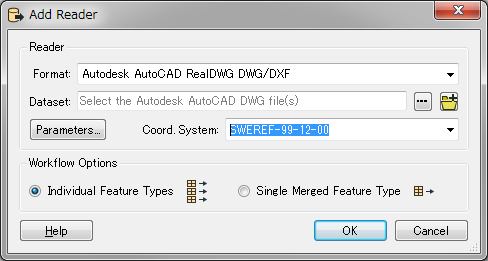
The jpg's are georeferenced and the DWG too and botha re set to the same coordinate system and both show up at the right positions in the inspector when opened individually.

This method worked for me using .las point clouds on the same spot, but I cant seem to manage to get the jpg's I want.

Is there something wrong with the settings?
 

Thank you in advance,

Robin

I
tested JPG, but no problem. I guess you could forget to set the
DWGReader coordinate system, DWG is usually not containing the
coordinate system, if you forget to set the coordinate system, then the
feature will read without coordinate system, it can not use the SpatialFilter function.


I
tested JPG, but no problem. I guess you could forget to set the
DWGReader coordinate system, DWG is usually not containing the
coordinate system, if you forget to set the coordinate system, then the
feature will read without coordinate system, it can not use the SpatialFilter function.

Thank you! That was the problem, now it's working.


I thought that I specifically saved the dwg with the right coordinate system, but maybe that does not stick to the format.


Reply