Hello,
i need to georeference 800 maps.
Every map is from a grid that is 1km x 1km.
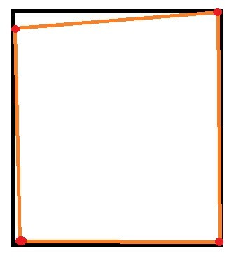
From the Scanning and the old paper it can be that the Map has a angle just like showing in the example picture below.
Is it possible to get the coordinates of the 4 Red points and set them to the coordinates that the Picture should have from the grid?
I know how to do it with the bounding box but i dont know how to deal with the transparency.
or is there a better way to make the georeferencing of 800 picutres more easy?


