


Hello,
I'm generating a DEM file with the writer
U.S. Geological Survey Digital Elevation Model (USGSDEM)
However, whenever I click somewhere on the DEM raster that is generated, I obtain a round up value to 1 meter.
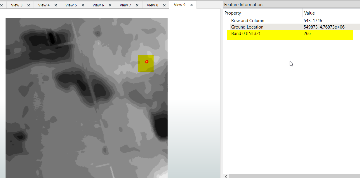 Just before going into the writer, I have an inspector on my data and I do have floating point value for the elevation.
Is there a way to force this writer to not do the round up and keep the value in floating point?
Thanks