


Hello FME User,
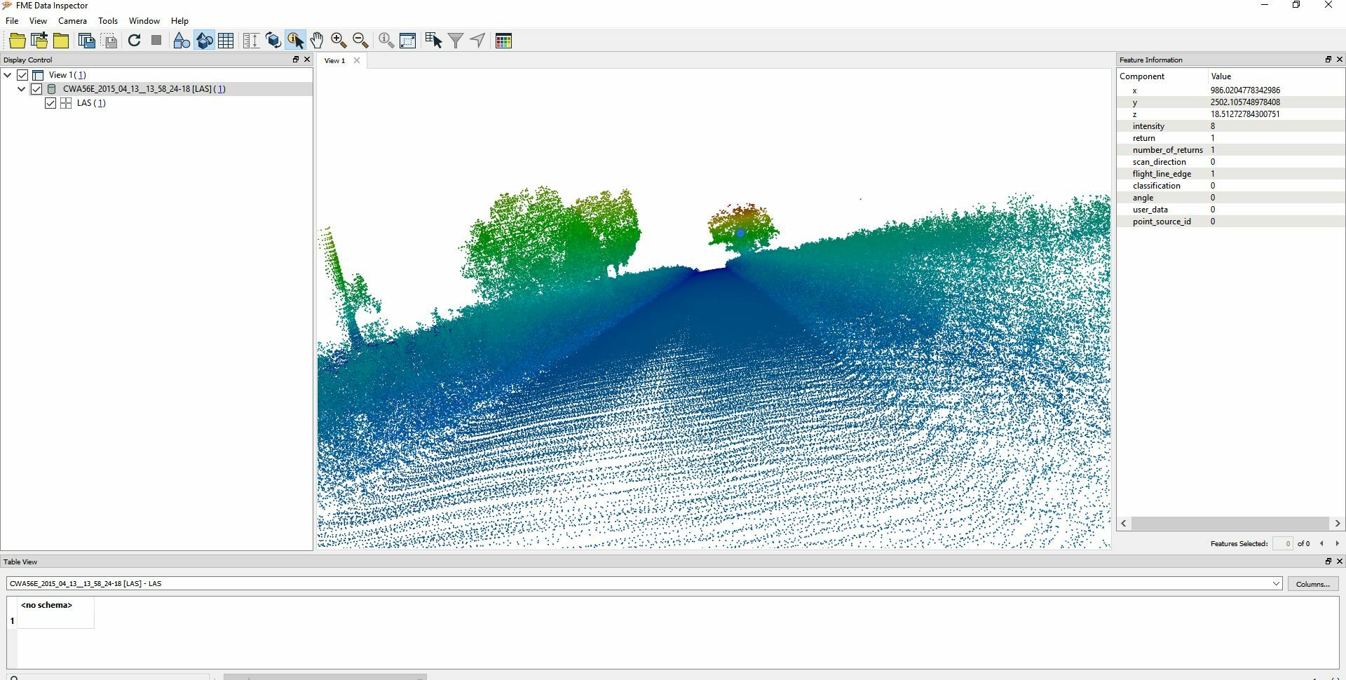
Does any one having experience to process LIDAR or Point Cloud data collected by Car mounted device.
I need to classify the data in to Road Surface , Building , Tree trunks, electricity pole along with Road
The bad news is in point cloud we don’t have any calcification values it’s “Zero” everywhere.
Can any one please guides me. Unfortunately data can not be share.
Best answer by jlutherthomas
View original