Hello,
I have an IFC file I wish to import in Postgres(PostGIS extension) to go through spatial analysis.
Oriinally, what I did was to convert the IFC to a 3DGIS compatible format (GML) and import it in Postgreswhich was successful.
Exploring a little more, I saw that Postgres supports the solid geometry type of FME and I performed the same conversion, without converting the geometries to b-rep.
This photo shows the input in Postgres
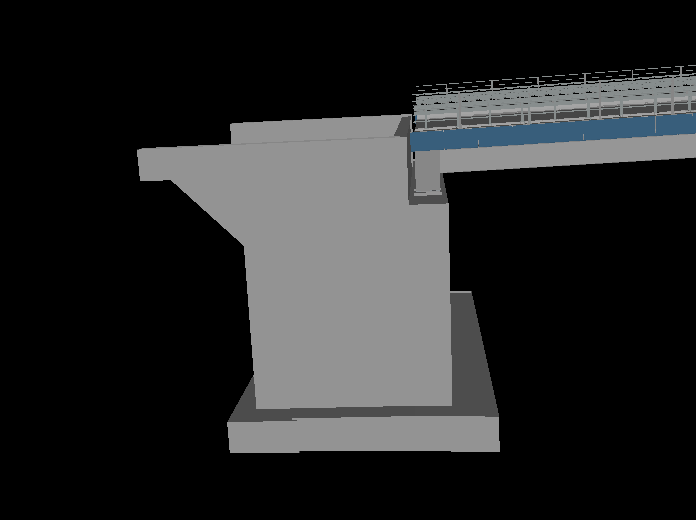
and this photo shows the output when I am reading it from Postgres.
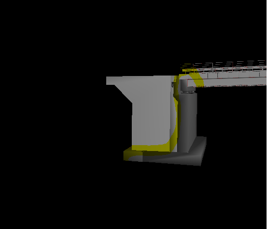
The highlighted part is visualised differently. I couldn't help but wonder the reason why.
Could you please help me figuring this out?Thank you,
George


")