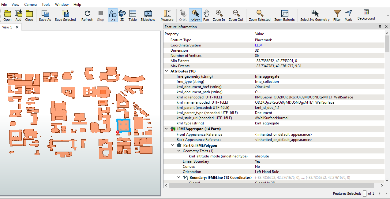
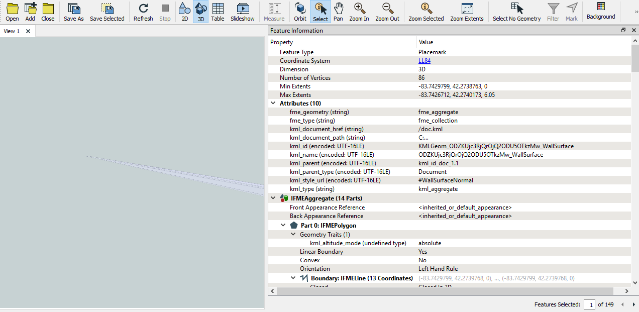
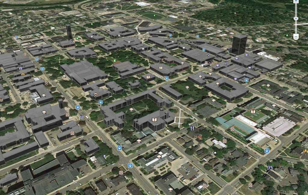
I have recently just discovered this software and it seems like a really powerful utility. What I would like to do is take a kmz file of building geometry that has been verified in Google Earth and convert the file into a meshable file type such as an stl. Is this possible? I see from the data inspector that all of the points necessary to define each building exist in LLA format and data sets are defined as boundaries and polygons so I'm inclined to think it's possible, I just can't get it to work. I've also noticed that kml/kmz files can't be inspected in 3D which I believe is a manifestation of my issue. Any help is greatly appreciated! I've attached a screenshot from the data inspector in 2D and 3D as well as one from Google Earth