Solved

LiDAR Cloud Point (.las) to DEM Raster With Spectrum Colors Based On Elevation Values


Badge

Hello,

Is there a way to convert LiDAR Cloud Point (.las) to DEM Raster With Spectrum Colors Based On Elevation Values?

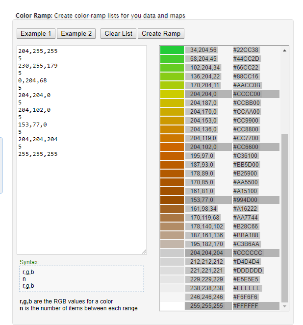
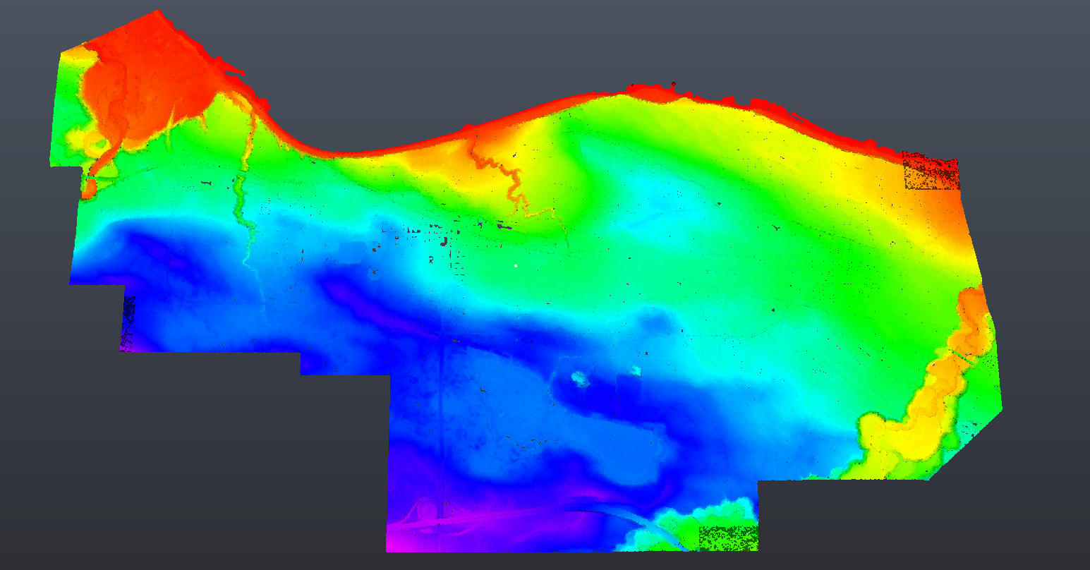
I see the following post (https://knowledge.safe.com/articles/1345/creating-a-raster-from-a-point-cloud.html), but just hope the expert may show me how to colorize the raster image with Spectrum Color like following image:

Thanks a lot,

Reno

icon

Best answer by takashi 10 July 2018, 00:53

View original

3 replies

Userlevel 2
Badge +17

Hi @renosungis, a possible way is: convert the point cloud to a UInt8 DEM raster (see the article you have linked), create a color palette with the RGBGradationCalculator (from FME Hub), then add the palette to the DEM raster. See also this Q&A;: How To Transform DEM/DTM Gray8 TIF To RGB32 TIF With Color Based On Gray8 Value (elevation)

Badge

Hi @takashi,

Thanks a lot for your answer!

Just would like to share a good tool for generating the Seed Colors in RGB/HEX in a minute.

http://www.zonums.com/online/color_ramp/

After I have generated the custom color ramp, I copied the color ramp table to Google Sheets using a function called TEXTJOIN with character ";".

Userlevel 2
Badge +17

Hi @takashi,

Thanks a lot for your answer!

Just would like to share a good tool for generating the Seed Colors in RGB/HEX in a minute.

http://www.zonums.com/online/color_ramp/

After I have generated the custom color ramp, I copied the color ramp table to Google Sheets using a function called TEXTJOIN with character ";".

0684Q00000ArKiJQAV.png

0684Q00000ArJfoQAF.png

Thanks for sharing the good tool.


If the spacings (n) between adjacent fixed colors are identical, I think the RGBGradationCalculator with this Seed Colors could generate the same palette.


204,255,255;230,255,179;0,204,68;204,204,0;204,102,0;153,77,0;204,204,204;255,255,255


0684Q00000ArMKeQAN.png


0684Q00000ArMTZQA3.png


Reply