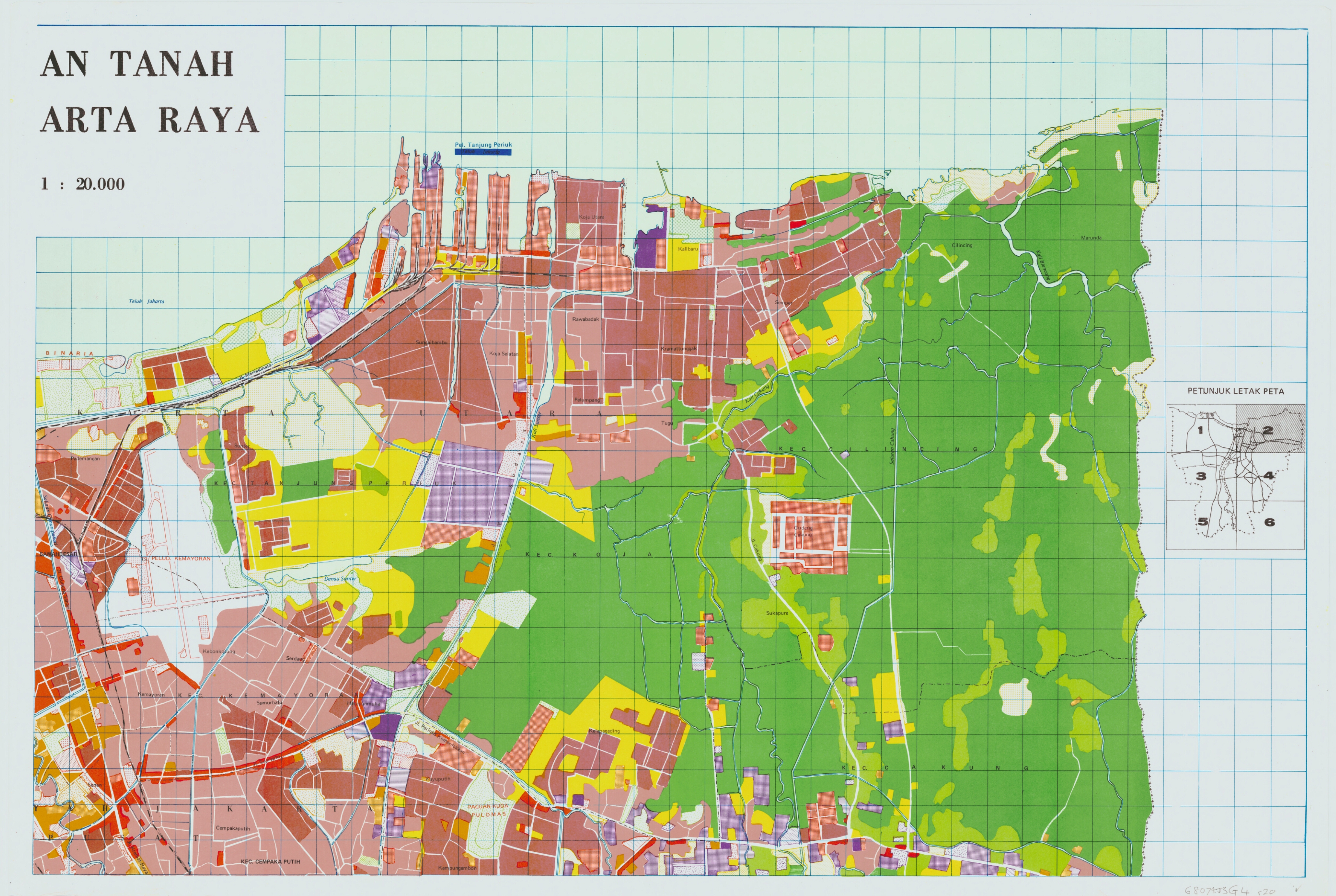
 I have a raster maps (old land use maps) that I want to digitize into shapefiles for ArcGIS. I am new to FME and not familiar with the interface. Is there a way to do this efficiently? I have attached the map to this message. The map jpeg is geo-coded. It also has a blue grid overlayed that does not need to be digitized. I would like to retain the different colors as separate layers.

Is there a way to use FME to convert a jpeg map (Raster) into a shapefile in ArcGIS?


Userlevel 5
 +25
+25
- Influencer
- 3345 replies
-
3 June 2020

You can try the RasterToPolygonCoercer, it will create polygons of the pixels, storing the rgb values as attributes that you can select on. It will do the whole thing though, including the blue grid so you'll need to check which values those are, filter them out and then try and clean up the gaps they leave behind (AreaAmalgamamator and/or AreaGapAndOverlapCleaner)
Reply
Enter your username or e-mail address. We'll send you an e-mail with instructions to reset your password.