I have problem with creation DEM/elevation raster from ASCII XYZ. I've loaded ASCII XYZ using CSV. I've used transformers: VertexCreator, NumericRasterizer. Translation was SUCCESSFUL, but finally elevation doesn't exist. What can be wrong? In attachment I send fmw file.


Userlevel 4
 +30
+30
- Evangelist
- 1880 replies
-
18 August 2017

Hi @codgik_1, the fmw didnt come.
Thanks,
Danilo

 +6
+6
- Safer
- 276 replies
-
18 August 2017

Hello @codgik_1
Would you mind re-attaching your workspace? I don't see it included with your above post.
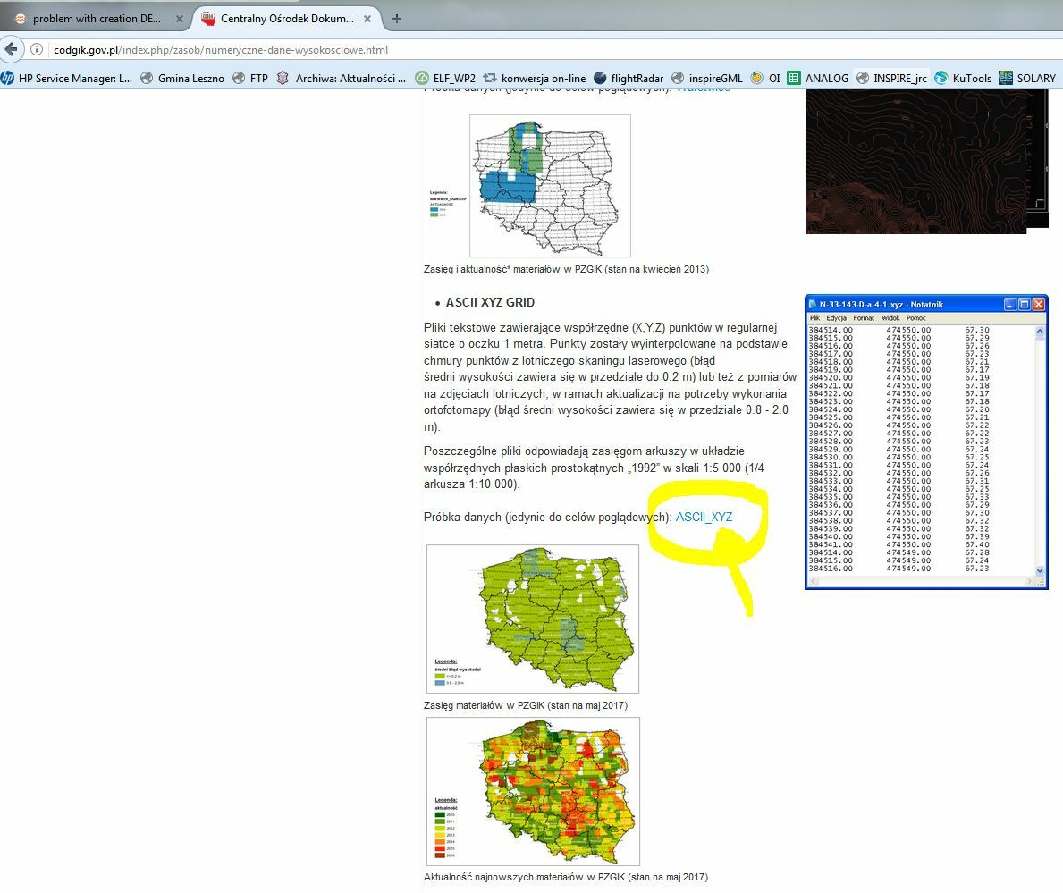
Example data for this FMW you can download here (ASCII XYZ GRID):
http://codgik.gov.pl/index.php/zasob/numeryczne-dane-wysokosciowe.html


Userlevel 5
+25
- Influencer
- 3345 replies
-
21 August 2017

I tried a completely different approach:
- PointCloud XYZ reader
- RasterDEMGenerator
- output to GeoTiff
It looks like it's working (and it's blisteringly fast) but... on that sample dataset it looks like the variation in z-values is minimal, like centimeters at most.
Also, in your workspace, you've set the output to a different coordinate system, that's fine, but you should refer to it as EPSG:[number], not just the number.

Userlevel 2
 +17
+17
- Contributor
- 7538 replies
-
21 August 2017

Example data for this FMW you can download here (ASCII XYZ GRID):
http://codgik.gov.pl/index.php/zasob/numeryczne-dane-wysokosciowe.html
And I would recommend you to use the PointCloud XML reader, since it works much faster than the CSV reader + VertexCreator, as @redgeographics mentioned. You can send a feature having a point cloud geometry directly to the NumericRasterizer or the RasterDEMGenerator.
Thanks for answers @takashi @redgeographics
@takashi, In my version on FME (2017.1) I can't find PointCloud XML reader.
Besides I would like to use batch for few files, but my batch didn't work. What can be wrong:
for %%f in (*.XYZ) do "c:\\Program Files\\FME\\fme.exe" e:\\temp\\csv22geotiff.fmw --SourceDataset "%%f" --DestDataset "%%~nf.tif"
Userlevel 5
+25
- Influencer
- 3345 replies
-
22 August 2017
Thanks for answers @takashi @redgeographics
@takashi, In my version on FME (2017.1) I can't find PointCloud XML reader.
Besides I would like to use batch for few files, but my batch didn't work. What can be wrong:
for %%f in (*.XYZ) do "c:\\Program Files\\FME\\fme.exe" e:\\temp\\csv22geotiff.fmw --SourceDataset "%%f" --DestDataset "%%~nf.tif"
As for your batch command, it's been a long time ago since I had to work with those, but are you sure the %%~nf.tif part is correct? Shouldn't that be %%f.tif?
Userlevel 2
+17
- Contributor
- 7538 replies
-
22 August 2017
Thanks for answers @takashi @redgeographics
@takashi, In my version on FME (2017.1) I can't find PointCloud XML reader.
Besides I would like to use batch for few files, but my batch didn't work. What can be wrong:
for %%f in (*.XYZ) do "c:\\Program Files\\FME\\fme.exe" e:\\temp\\csv22geotiff.fmw --SourceDataset "%%f" --DestDataset "%%~nf.tif"
Reply
Enter your username or e-mail address. We'll send you an e-mail with instructions to reset your password.