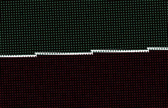
I have pointcloud xyz-files that I want to write to Esri ASCII Grid-format.
I use a RasterDEMGenerator in the process with Interpolation method: Planar.
It is 2 meters between the points so I use X/Y cell spacing 2 meters.
But when I look at the resulting files it is a gap between them with no data (see image).
How can I connect them togheter?

If I process the two pointcloud-files at the same time then they will merge into one single perfectly shaped ascii-file.
But the problem is that I have 234 pointcloud-files with each 1,5 million points, and I have tried to merge them into a single ascii-file. It took about 80 hours for FME to process them, but still FME didn't manage to give me a resulting file because of some strange error.
Any suggestions please?
Cheers
Hans


