Question

Compactness of landuse plan in ArcGis

  • May 14, 2018
  • 1 reply
  • 17 views

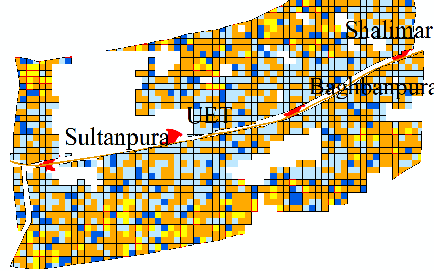
Want to analyse compactness of Landuse Plan. suppose each rectangular polygon has 8 neighbors. I want to analyse which polygon has same landuse neighbors. for example say residential is a polygon, so i want to know that from his 8 neighbors how many have same landuse (Residential) and how many don't have same landuses. Please see the following picture.,I am working on Landuse change methodology in Transit oriented development.

,

This post is closed to further activity.
It may be an old question, an answered question, an implemented idea, or a notification-only post.
Please check post dates before relying on any information in a question or answer.
For follow-up or related questions, please post a new question or idea.
If there is a genuine update to be made, please contact us and request that the post is reopened.

1 reply

Forum|alt.badge.img+2

I think SpatialRelator transformer will give you the results you need. For each area, it will return a list of all the neighbors that touch. You can then use the list trasnformers, like ListHistogramer, to analyse the results. If you include a sample dataset I can probably give you a proof-of-concept.