I need to generate Near Table between two point ArcSDE feature classes which are in WGS84. The ESRI's solution is

arcpy.GenerateNearTable_analysis(baseFC,candidateFC,NEAR_TABLE,"2500 Feet","","","ALL"). It gives NEAR_TABLE with 82 records. If I only want the "closest" candidates, I use this

arcpy.GenerateNearTable_analysis(baseFC,candidateFC,NEAR_TABLE,"2500 Feet","","","CLOSEST") which gives 26 records.

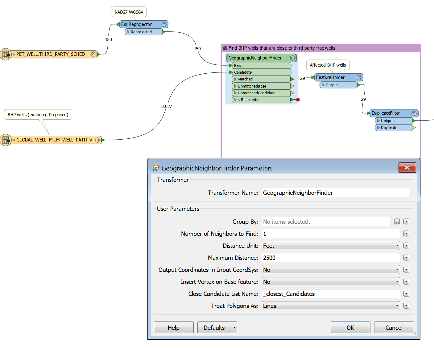
I think the nearest transformer to do this in FME is GeographicNeighborFinder. See below image. However, it gives 29 records. I assume it only searches the closest candidates. But why is it different than the 26 that ESRI "CLOEST" gives? Does FME has another transformer that does what

arcpy.GenerateNearTable_analysis(baseFC,candidateFC,NEAR_TABLE,"2500 Feet","","","ALL") does?
If you isolate the 3 features that differ between ArcGIS and FME, how close are they to the 2500 feet maximum distance? Are they close enough to the 2500 limit that it could be explained by different rounding and/or precision mechanisms?


First step if I come across is always to compare both sets and see what the differences are. If you that, is there anything special about the features that are in the FME set but not the ESRI set?


@redgeographics and @david_r, my bad. I got the base and candidate wrong, should be the other way around. The answer is 28. The arcpy gives 26, because it does not transform the in_feature from NAD27 to be the same as the near_feature. Now I got the same results now between FME and arcpy for the default "CLOSEST" option


@redgeographics and @david_r, my bad. I got the base and candidate wrong, should be the other way around. The answer is 28. The arcpy gives 26, because it does not transform the in_feature from NAD27 to be the same as the near_feature. Now I got the same results now between FME and arcpy for the default "CLOSEST" option

No worries, glad you got it sorted out.


Reply