Hello everyone,
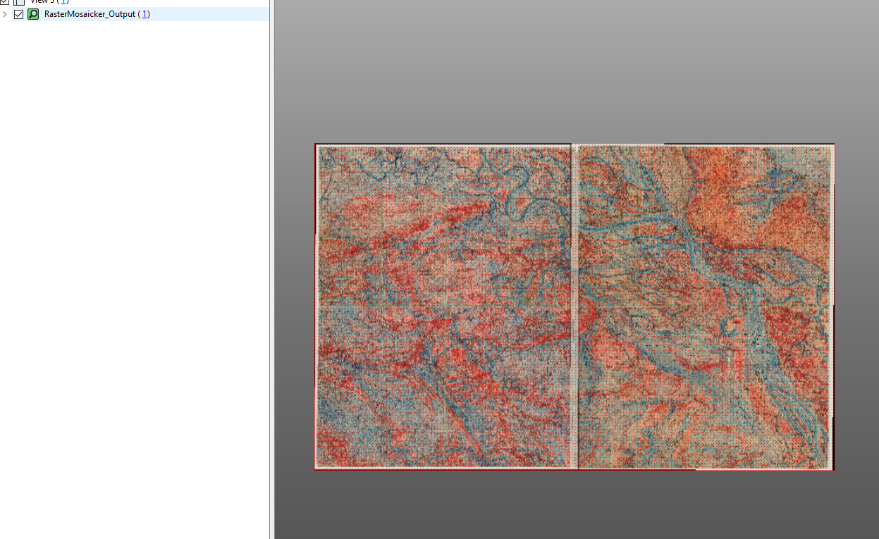
So I have 4 georeferenced JPG images that I need to paste together. I wanted to use the RasterMosaicker to do this, but it seems like FME is not picking up the georeferenced data behind the images. The 4 JPG's should lay nicely next to the other, but instead they lay on top of each other.
I have tried a few things but I don't know how to fix it. I already told the Reader which coordinate system the images were georeferenced in. I tried different types of readers as well.
I'm just trying to paste these images together without the color changing. When I tried to paste them together using the Mosaic to New Raster tool in ArcGIS Pro, the color of the map changed to a lighter shade. The color is very important since I use the color of the images to classify it later using Supervised Classification.
Does anyone know how to fix this?
Thank you in advance!
Edit: I have added two of the images in a zip folder. The folder contains the images and also the information that was created when georeferencing. For anyone wondering: the names are in Dutch :)


