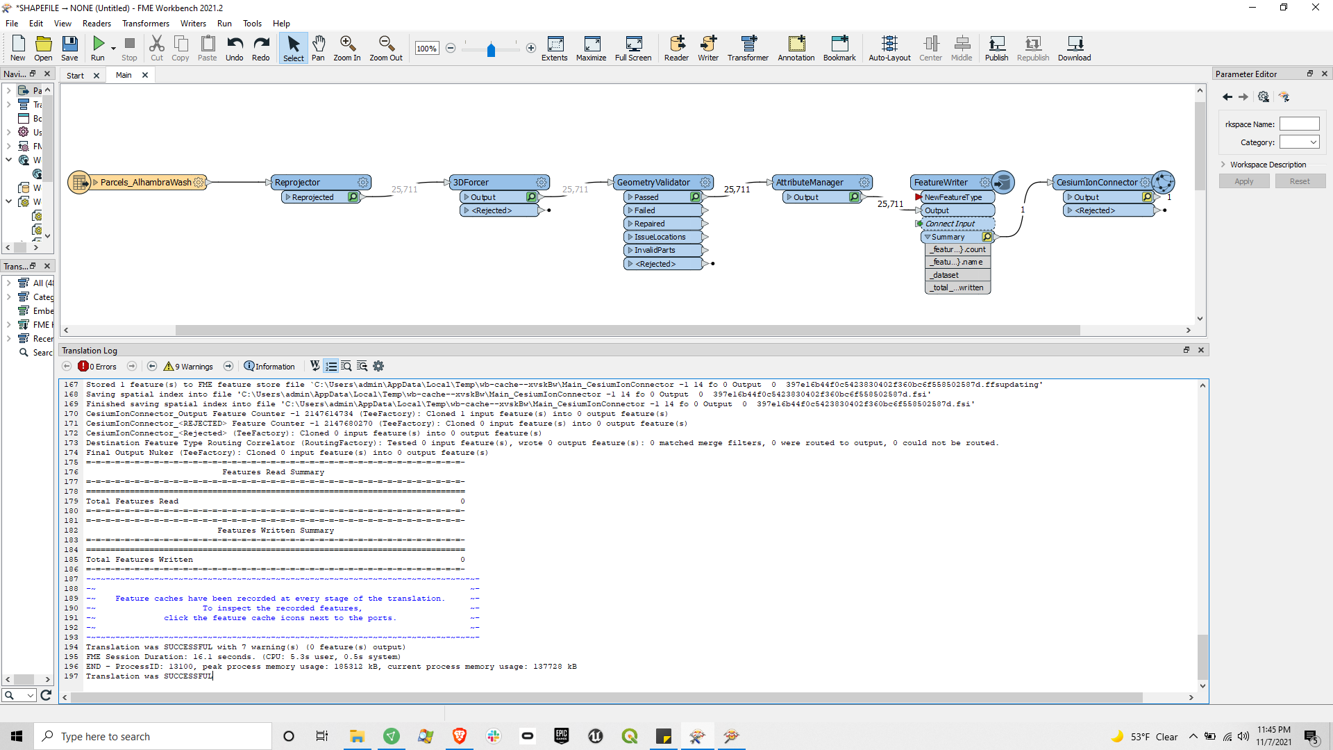
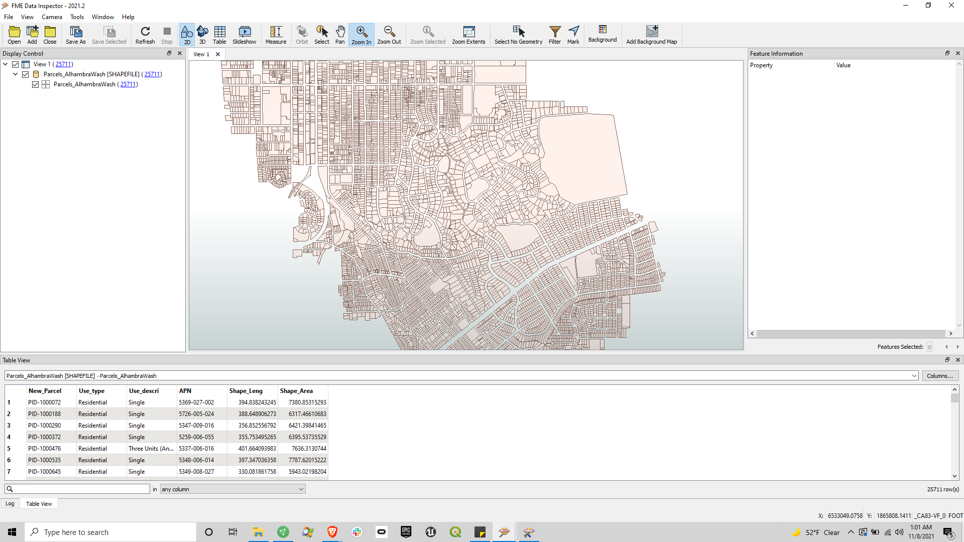
I am transforming a shapefile of roughly 25,000 Los Angeles County parcel polygons into cityGML for upload to Cesium Ion. The translation is successful in FME Workbench, but when it uploads to Cesium Ion, it makes the following error in the Cesium Ion assets browser:
We were unable to process your data due to the following issue:
Error: Input does not contain any eligible features for tiling.
Read about what data formats are supported on Cesium ion.
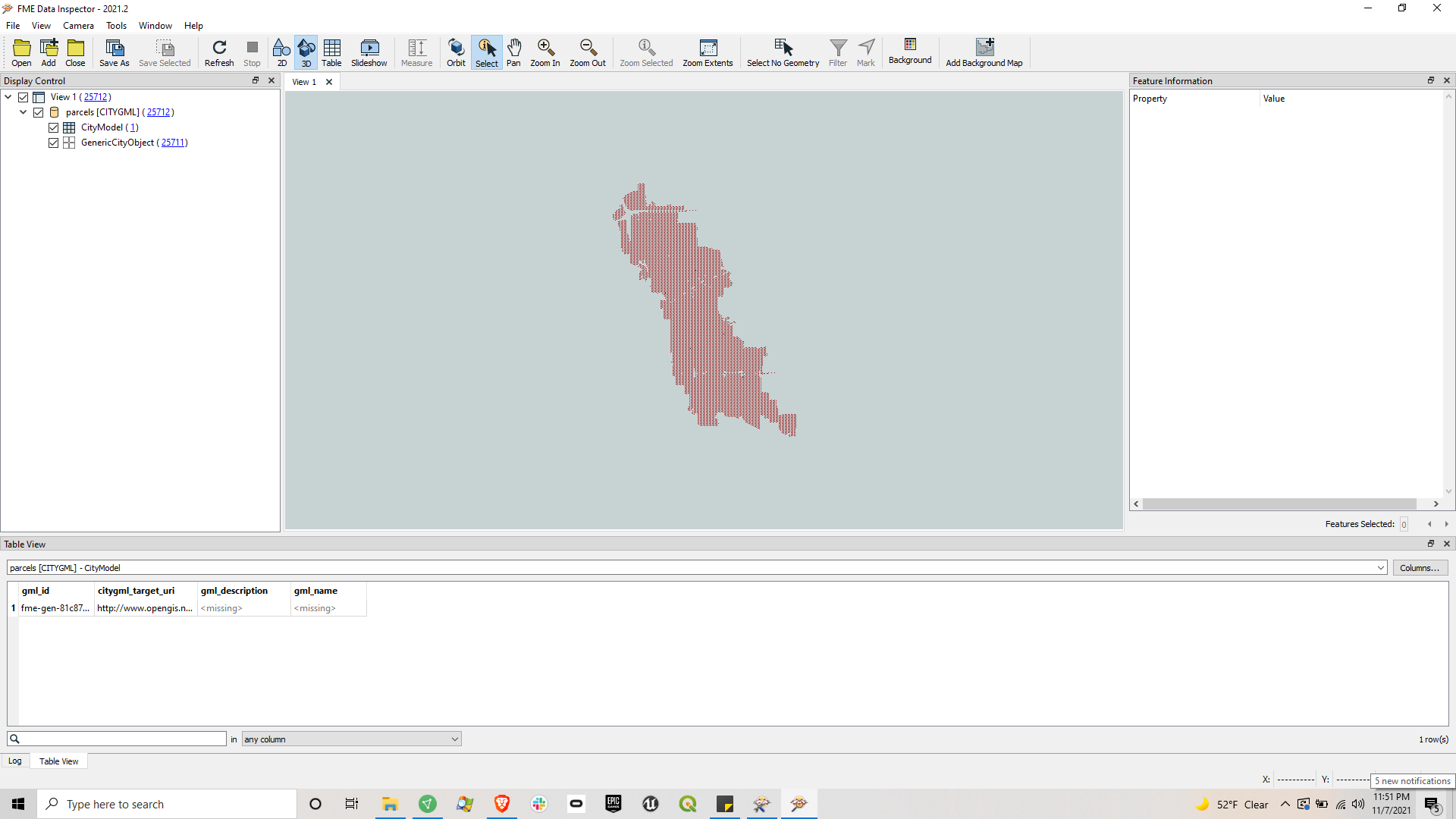
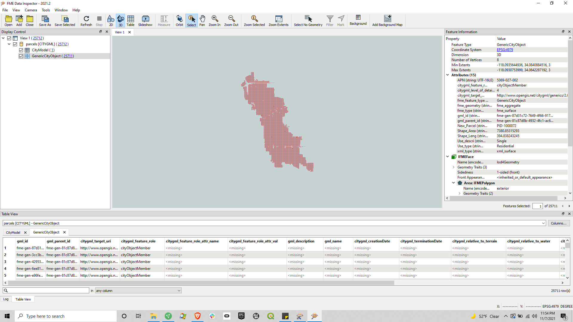
which is not very helpful. When I view the resulting cityGML file in FME Data Inspector, I see that all of the separate parcel polygons have become one joined polygon (and the extent probably should be trimmed). I see from the tables that I have created one CityModel and roughly 25,000 GenericCityObjects with missing column data. I've attached screenshots that show the values I am getting. What might I be doing wrong?
For the 3DForcer height I used 3.0 without units. I'm wondering how to specify units, whether that is necessary (because I just need some random height so that the dimensions are 3D instead of 2D), and what the difference between 3DForcer and Extruder is. When I replace the 3DForcer with the Extruder, all the GeometryValidator tests, for every geometry, fail. When I replace back with 3DForcer, they all pass.
I'm wondering if I'm missing data when transforming from 2D shapefiles to 3D cityGML, for example this list of data that it seems like Cesium Ion might expect:
https://cesium.com/learn/3d-tiling/on-prem/on-prem-3d-buildings/#citygml-options


