
I want to tile Buffered line feature and after that want to dissolve it. But the tiler tile only the total boundary. And do not provide any features into the tiled box. Need some suggestion.
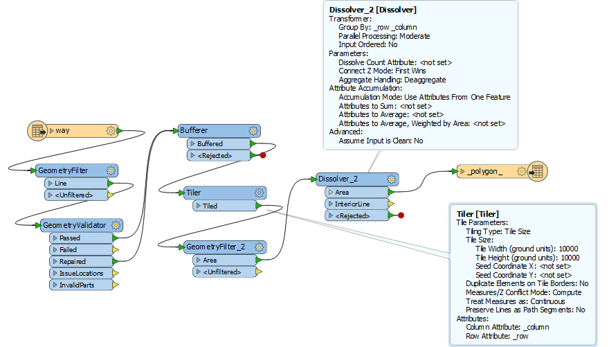
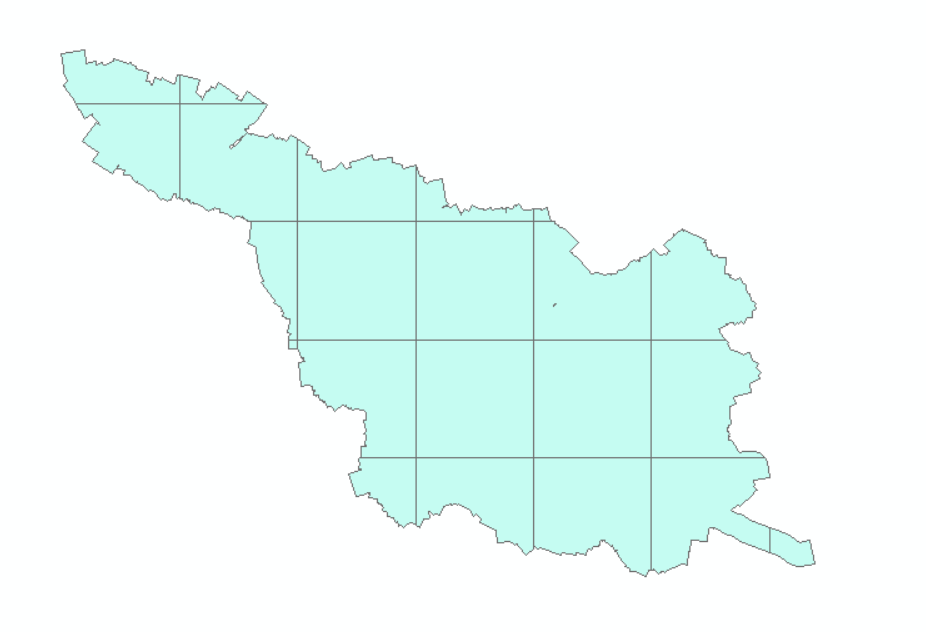

I want to tile Buffered line feature and after that want to dissolve it. But the tiler tile only the total boundary. And do not provide any features into the tiled box. Need some suggestion.
No account yet? Create an account
Enter your E-mail address. We'll send you an e-mail with instructions to reset your password.


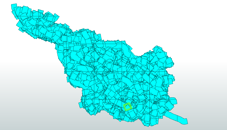 This is the result after Bufferer transformer. I cannot understand why the features looks so heterogeneous.
