I have a question.
I don't think i've seen this before, but maybe any of you knows what, if at all, i am missing here.
I read a set from a oracle spatial. These are all area's.
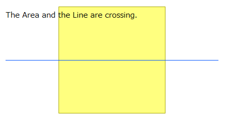
I do a spatial query using lines as supplier.
All is well, the inspector shows results as they should be.
But when i try to write a polygon shape file, it insists there are a huge number of lines and arcs. A larger number of lines/arcs then the input too.
In the inspector i see conflicting information on the objects:
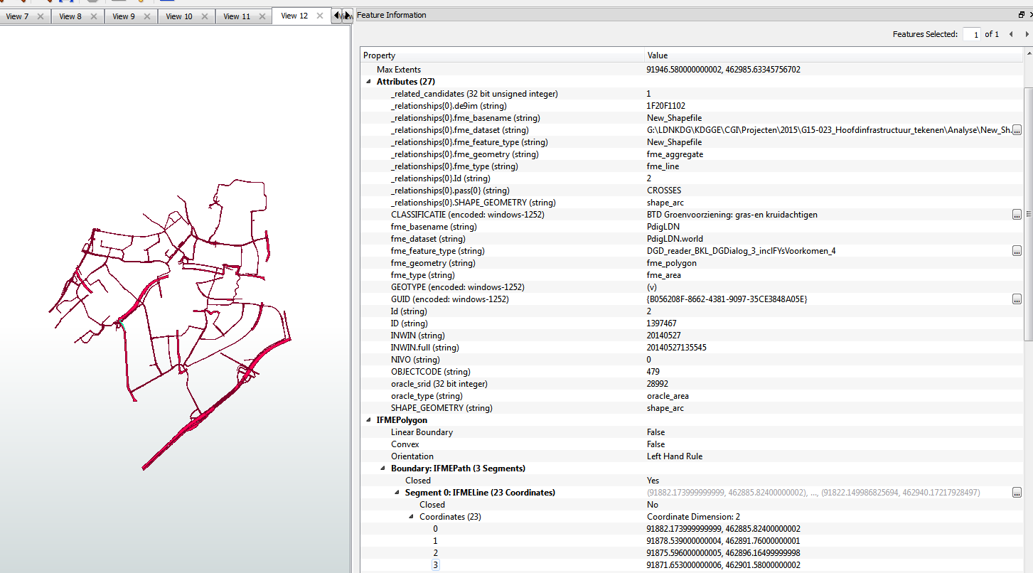
As you can see in the picture it relates the area objects with line /arc objects and puts this in a list. On the bottom you see appear SHAPE_Geomtery....this is the supplier geometry. It should not be there as far as i know and have previously experienced.
Espescially when there are actually only area's in the selected data.
From the objects in this pictures most are therefore rejected.
I have never seen this before and i am stumped. (or the dentist hurt me too much yesterday..and i incured brain damage or something...i got a tooth pulled...lol)
This does not occur if i buffer the supplier lines with a small buffer, turning them in area's. The conflicting info dissapears.
This is FME2014 sp2.
Anyone knows what could be causing this?
Thanks for any attempt at answering. :)