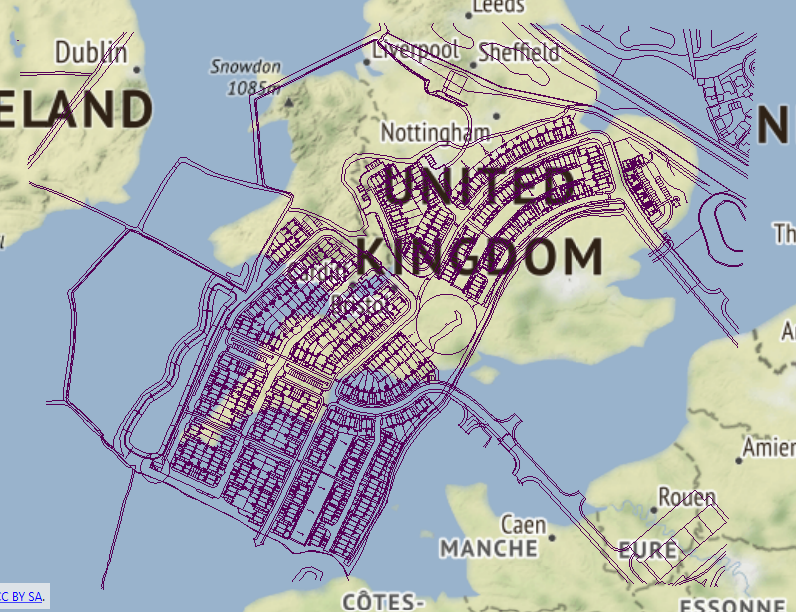
I have converted a DWG layer to shapefile and am in the process of trying to georeference it. I have used the AffineWarper to get the data to the correct location but the scale is too big and I need to reduce it. When using the Scaler it changes the location. I then used the Offsetter but it does not place the features where I need them either!
Any help would be much appreciated 🙂
Screenshot shows process after AffineWarper with features in right location but with wrong scale.


