Question

Reproject raster with FME

  • April 19, 2016
  • 1 reply
  • 69 views

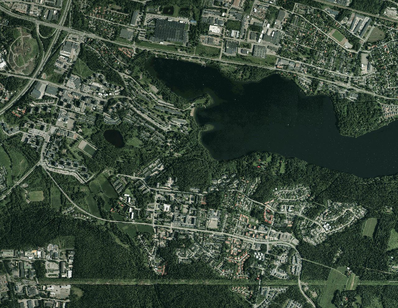
I have multiple .tiff + .tfw files in EPSG:3067, which I need to reproject to EPSG:3878. I tried to do it with FME, and succeeded, kind of. The geotiffs are placed well, but some weird white area appears between the grid (see image attached) when I add the orthophotos to ArcMap 10.4. I used CsmapReprojector, "ignore heights" was selected and interpolation type was Bicubic and Cell Size was "Preserve Cells". I also defined source and destination coordinates manually to 3067 and 3878.

So what did I do wrong while 3878 reprojection looks like this:

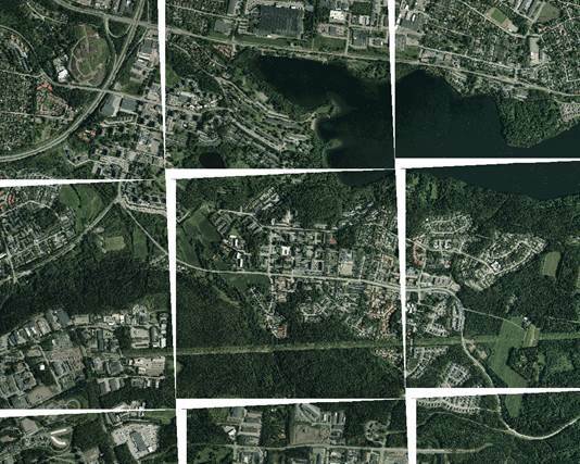
While it should look like this:

This post is closed to further activity.
It may be an old question, an answered question, an implemented idea, or a notification-only post.
Please check post dates before relying on any information in a question or answer.
For follow-up or related questions, please post a new question or idea.
If there is a genuine update to be made, please contact us and request that the post is reopened.

1 reply

jdh
Contributor
Forum|alt.badge.img+40
  • Contributor
  • April 19, 2016

When reprojecting multiple tiles rasters, your best option is to mosaic them prior to reprojecting them, and then retiling.


Otherwise you will end up with NoData edges as you see in your example.