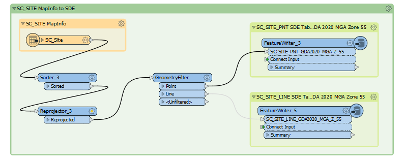
I have a very simple workbench that is taking a MapInfo file, reprojects it and sends it to an ArcSDE database in Oracle. For some of the MapInfo files it works fine but others only the objectid and shape attributes come across.


The writer, drops and creates the table but does not create all fields in some cases.
 

image" data-fileid="0694Q00000HYS1qQAH 

Does anyone have any ideas why this might be the case?


Regards


Dean

@deanhowell​ The usual cause for MapInfo to Oracle attribute issues is case. MapInfo being title case and Oracle uppercase. If this isn't the issue, then a small example of the data and the workspace would help the community dig a little deeper.


Thanks @Mark Stoakes​ I tried adding the bulk attribute transformer and that did not solve the problem, it actually changed all attributes to 200 char. For this project we are using 2019.1, for clarification.


I have uploaded a workbench with the problem data and subset of the workbench. My guess is the data is bad in some way as the same approach is working for other datasets but if you have time to look that would be very much appreciated.


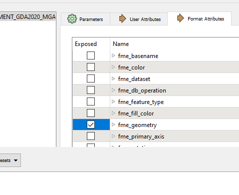
Hello @Mark Stoakes​ I figured out the issue and it was related to two things. Exposing the fme_geometry


imageimageand the data had two fields "Lat" and "Long" which I changed to "Latitude" and "Longitude" now all attributes are flowing as expected.

Thanks for your offer of help.

Regards


Dean


Reply