For figuring out sizes and distances in a geographic coordinate system, with degrees as units, I have this little cheatsheet taped to my monitor:
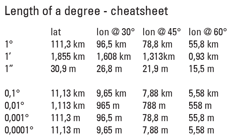
For rough calculations we can assume the length of a degree of longitude on the equator is the same as the length of a degree of latitude.
Note that due to the convergence of the meridians the size of a degree differs as the position on earth changes but also depends on the direction you're measuring in.
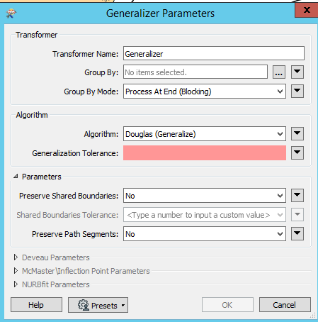
Now the different generalization methods have different meanings for their tolerance and sometimes one works better than the other for your data. Sometimes you even have to do a 2-step process (last project I did where I had to generalize in a geographic coordinate system I ended up doing Smoothing first and then Nurbfit immediately afterwards, or the other way around, to get a good looking result).