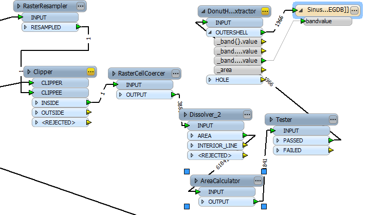
For geometric harmonization I'm using a RasterResampler transformer to get a 100x100 meters spatial resoluton, no big deal.
However, the thematic harmonization is quite a different beast. I want to achive a minimum mapping unit (MMU) of 25 hectares, because that's what my vector dataset has. So the smallest identifyable feature size should be equal to that. Smaller areas should be 'removed', that is, they should be attributed with the predominant landcover that they are surrounded with. A generalization so to say.
I tried the Amalgamator and a AreaCalculator / Tester combination to achive what I want, unfortuinately to no avail.


