Hello,

i would like to transform a .csv list which contains adresses with a given latitude and longitude to dxf/dwg file into my local coordinate system (AUT-GK31-5). The exported dxf/dwg should contain a point with the transformed coordinates. thank you for your help - i am working on FME workbench 2019.0


input: (wish)

.csv or excel

lat: xxx

long: xxx

(text: xxx)


output:

dxf/dwg

point: (correct transformed coordinates - AUT-GK31-5)

(point-text:xxx)


Christoph

If you have the definition of your local coordinate system you can follow these instructions: About Custom Coordinate Systems (safe.com). Then after that you can use the Reprojector Transformer.


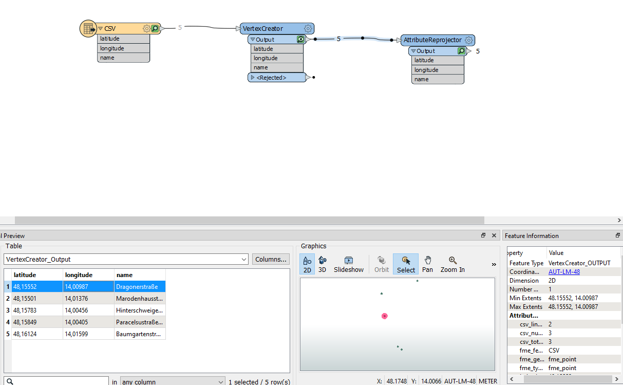
First you have to create geometry from the lat long in your csv. You can do this with the VertexCreator. After that you can use the reprojector to project this data from one to another coordinate system. Your desired local coordinate system is available in the list of standard coordinate systems in FME. At last you can use a AutoCAD DWG Writer to convert it to DWG/DXF.


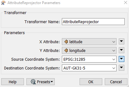
Thank your for your reply - i am not able to find the right source coordinate system

imageSource Coordinate system?Thank you for your help!

Christoph


PS: the correct geometry for the selected adress "Dragonerstraße" is:

X:50449.4727

Y:335487.9523


Thank you for your help i was able to solve it! the correct source coordinate system is ESPG:4326


Reply