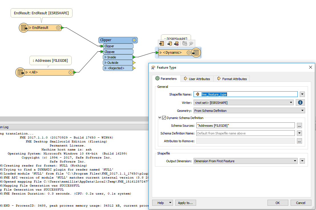
I have a file geodatabase with multiple features and I am using a shapefile to cut 3 small areas from the various layers in the file gdb. Whether I import the file gdb as a single merged feature or individual feature types I seem to get an output that has merged the attribution. For example my building poly now contains the columns in the attribute table for building point (all fields are null). I want to just cut and for the attribution to stay the same.

Hope this makes sense and thanks for any advice.
B