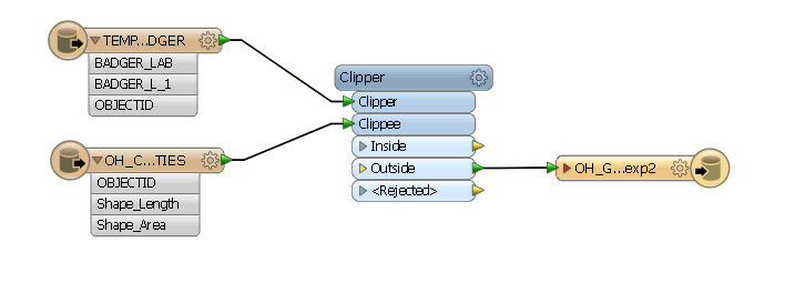
I am having trouble with a simple Clipper piece of my workspace.
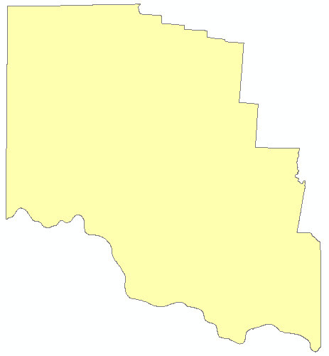
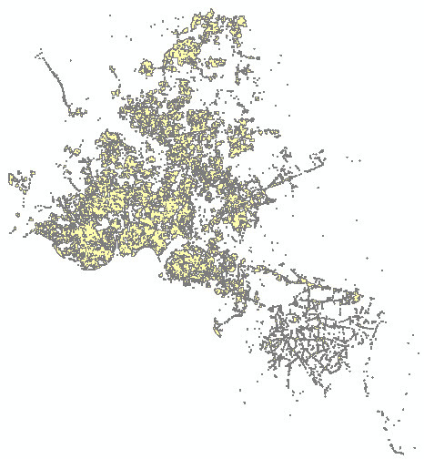
I have a dissolved aggregate of a handful of counties (ESRI .gdb polygon) that my company serves, and another ESRI .gdb polygon that represents a connectivity range for some of our infrastructure.
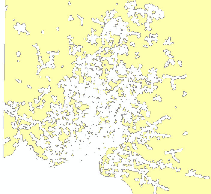
Goal is to clip the connectivity range shapes out of the counties, and return the counties with the pieces cut out of it. Pretty simple stuff. Unfortunately some sorting issue is rendering this piece unusable.
Anybody know why this keeps happening? Or how to address it?
I've tried deaggregating the "connectivity shapes" and using the "multiple clippers", or keeping it as an aggregate and using "single clipper", or using the "clippers first", and I never get what I'm looking for...
2016-12-06 09:31:43| 43.9| 0.1|INFORM|Sorting 525 features...
2016-12-06 09:31:43| 43.9| 0.0|INFORM|Determining uppermost containment...
2016-12-06 09:31:43| 43.9| 0.0|INFORM|Constructing donuts from 525 features...
2016-12-06 09:31:43| 44.0| 0.1|INFORM|Sorting 526 features...
2016-12-06 09:31:43| 44.0| 0.0|INFORM|Determining uppermost containment...
2016-12-06 09:31:43| 44.0| 0.0|INFORM|Constructing donuts from 526 features...
2016-12-06 09:31:43| 44.1| 0.1|INFORM|Sorting 527 features...
2016-12-06 09:31:43| 44.2| 0.0|INFORM|Determining uppermost containment...
2016-12-06 09:31:43| 44.2| 0.0|INFORM|Constructing donuts from 527 features...
2016-12-06 09:31:43| 44.3| 0.1|INFORM|Sorting 528 features...
2016-12-06 09:31:43| 44.3| 0.0|INFORM|Determining uppermost containment...
2016-12-06 09:31:43| 44.3| 0.0|INFORM|Constructing donuts from 528 features...


