Hi, I'm pretty new but this workbench should be straightforward I thought 🙂
I have an Excel Sheet with 40 land parcels of interest that I want to display on a map.
So I used a feature joiner to get the spatial information (from a spatial dataset) for these 40 land parcels based on a parcel number. All looks good. My output has the 40 polygons with all the attribute data.
So then I used the EsriReprojector to project to Web Mercator Auxiliary Sphere. That's the projection used at work in ArcGIS Online.
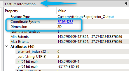
All looking good in the data inspector. Polygons look good, attributes look good, coordinate system is what I want. no errors in FME.
However, THEN the problem starts. I can write this to a geodatabase, but the coordinate system disappears and becomes UNKNOWN during this last stage of writing the output. So, suddenly the coordinate system disappears.
I just wonder if this could be because of my FME version (2018.0)?
Or am I doing something wrong. Because it all seems straight forward.
I add a writer
Format: Esri Geodatabase (File Geodatab)
Dataset: the output .gdb
Coordinate System: same as source
Feature Class or Table Definition: Automatic
Geometry: geodb_polygon
I can open the output feature layer in ArcGIS Pro (version 3.0.3) and it looks ok but the coordinate system is gone.
thanks for your help.


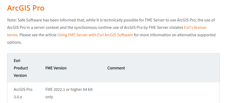
 Also you will need to upgrade 2018 FME should you already be using Arcpro 3. Both software need to be aligned in the versions according to this
