Hello everybody,
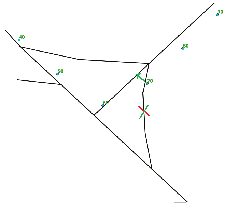
If you have seen the image, the labels displayed near the points they mention the order or the route of GPS, I would like to know is there a possibility for example to eliminate the segment which is near point 70, because in real life it should snap on the other segment.


