


Hey everybody,
I would like to define the hierarchy from the first administrative level into the second administrative level, and I would like to do that with the spatial reference. So for example I have a shapefile of the first administrative level which is called "Central". The second shapefile are the districts, so the second administrative level, which are all in the Central state. Lets say we have 4 districts (south, east, west and north).
The name of the Central state, so "Central" should get automatically get written in the attribute field "hierarchy" of the 4 districts. I would like to use the spatial reference as transformer. But it was not working. Has anybody an idea how to solve that problem?
Thank you in advance.
Cheers,
Fabian
Best answer by markatsafe
View original


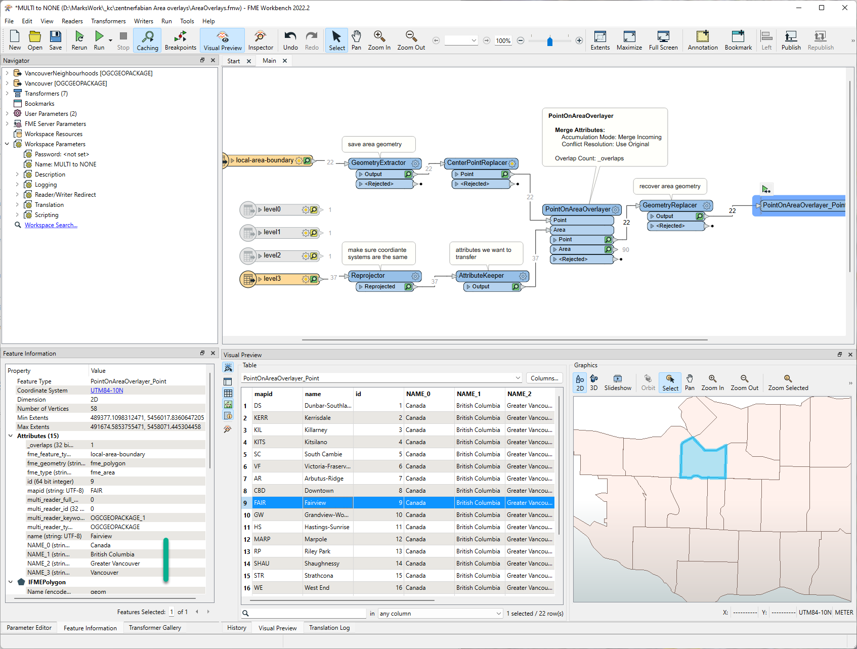 I've attached the workspace and example data (FME 2022.2)