I am trying to create a workbench to extract wms features into vector https://data.gns.cri.nz/tsunami/wms.html. I am wanting to extract out points and associated attribute data that is relating to each tsunami event


 +20
+20
- Contributor
- 564 replies
-
2 August 2022

I would recommend scrapping the Table option of the site via HTTPCaller. It gives a total number of pages in the response so you can go through all events.
Then investigate what double-clicking triggers and extract data for every event.
From what I can tell, there is a lot of formatting work to be done.


Userlevel 4
 +36
+36
- Evangelist
- 651 replies
-
2 August 2022

The map queries the layer 'gns:tsunami_age' from WMS https://data.gns.cri.nz/webmaps/gns/wms?SERVICE=WMS&VERSION=1.1.1&REQUEST=GetCapabilities
They also provide a WFS with a layer called 'tsunami_age': https://data.gns.cri.nz/webmaps/gns/wfs?SERVICE=WFS&VERSION=1.1.1&REQUEST=Getcapabilities
In the WFS each feature has an id, use this id in https://data.gns.cri.nz/tsunami/dataDetails.html?id=1 to retrieve all data.
The result is plain HTML, from which you can distill all information.
Good luck!
 +3
+3
The map queries the layer 'gns:tsunami_age' from WMS https://data.gns.cri.nz/webmaps/gns/wms?SERVICE=WMS&VERSION=1.1.1&REQUEST=GetCapabilities
They also provide a WFS with a layer called 'tsunami_age': https://data.gns.cri.nz/webmaps/gns/wfs?SERVICE=WFS&VERSION=1.1.1&REQUEST=Getcapabilities
In the WFS each feature has an id, use this id in https://data.gns.cri.nz/tsunami/dataDetails.html?id=1 to retrieve all data.
The result is plain HTML, from which you can distill all information.
Good luck!
Perfect thank you
+3
I would recommend scrapping the Table option of the site via HTTPCaller. It gives a total number of pages in the response so you can go through all events.
Then investigate what double-clicking triggers and extract data for every event.
From what I can tell, there is a lot of formatting work to be done.
thank you
I would recommend scrapping the Table option of the site via HTTPCaller. It gives a total number of pages in the response so you can go through all events.
Then investigate what double-clicking triggers and extract data for every event.
From what I can tell, there is a lot of formatting work to be done.
Could it be possible to explain more what does the HTTPCaller and how to set it?
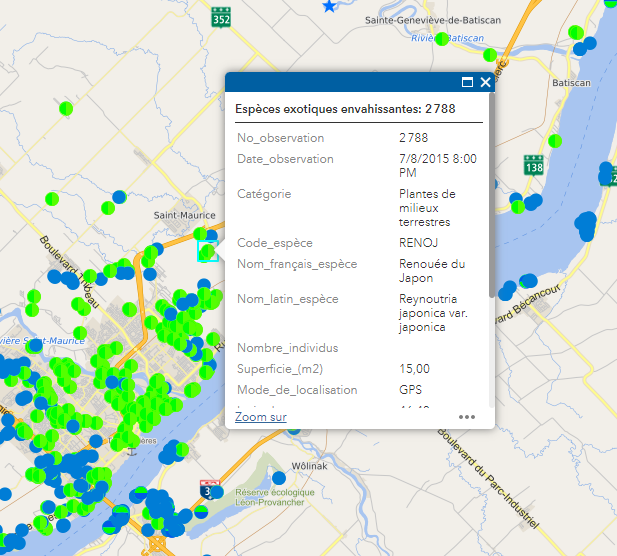
There's a WMS link wich is public and contains a layer (point) with values:
 I wish it could be possible to get entities from the WMS link (wich is regulary updated) and move the features to a geodatabase.
Please help me :) .


Userlevel 3
 +13
+13
- Safer
- 601 replies
-
12 May 2023

Could it be possible to explain more what does the HTTPCaller and how to set it?
There's a WMS link wich is public and contains a layer (point) with values:
I wish it could be possible to get entities from the WMS link (wich is regulary updated) and move the features to a geodatabase.
Please help me :) .
Hello @fpaquet, thanks for posting! the HTTPCaller allows FME users to access a URL via HTTP or HTTPS, using a variety of HTTP methods. If you're interested, here is the documentation.
This should be possible with FME Form! If you're goal is to read a WMS, you should look speicifcally at the WMS Reader. Once your data is inside FME Form, use either a Esri Geodatabase (File Geodb) vs Esri Geodatabase (File Geodatabase Open API). To learn how these writers differ, please see the 'Considerations' section of Getting Started with Geodatabase. If you have any further questions, it may be best to create a new post. Feel free to link post directly. Best, Kailin.
Reply
Enter your username or e-mail address. We'll send you an e-mail with instructions to reset your password.