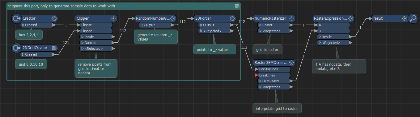
What transformer would I need, to stop the RasterDEMGenerator from filling in areas that should be void, or what other transformer(s) should I use?
I am using a CSV with XYZ values as my input and in some cases there are voids/no data/holes in the data see pics. How do I stop FME from interpreting data that isn't there? Output is a Geotiff.