


Hello there
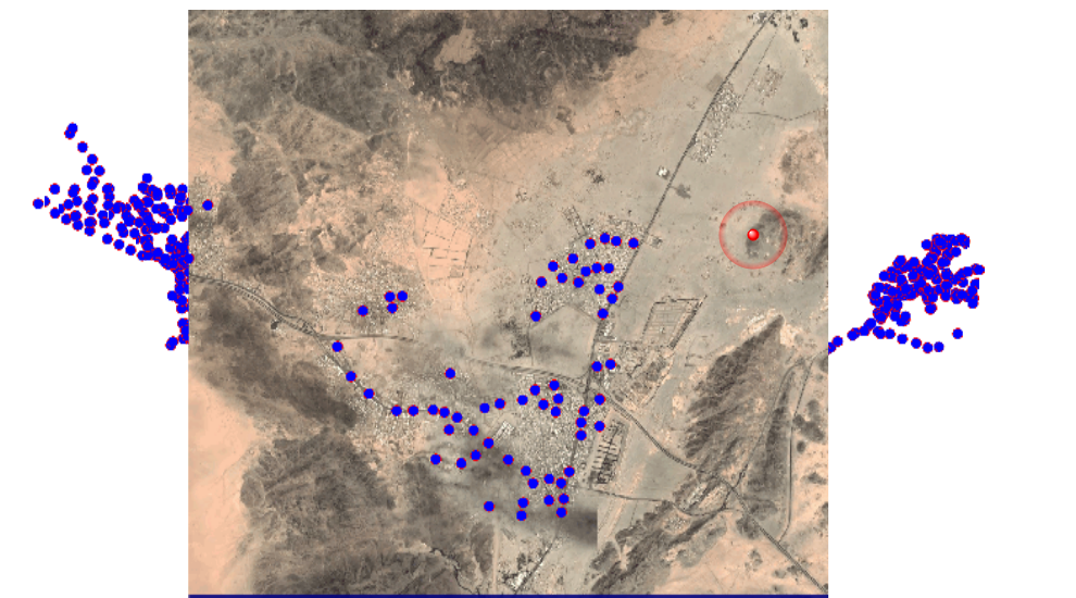
we are using the staticImageFeatcher transformer in order to get a satellite image that fit the bounding box of vector
the bounding box changes based on each vector's data
is there any way to extract the right value for the Height/width in the image to set the parameter of the staticMapfetcher dynamic?
 Thanks
Best answer by virtualcitymatt
View original


