Question

Fastest way to transform point cloud into vector line?

  • 31 January 2022
  • 1 reply
  • 15 views

Badge +14
  • Contributor
  • 120 replies

I am experimenting with an aerial raster over a river delta trying to find the fastest way to extract centre lines over the water ways.

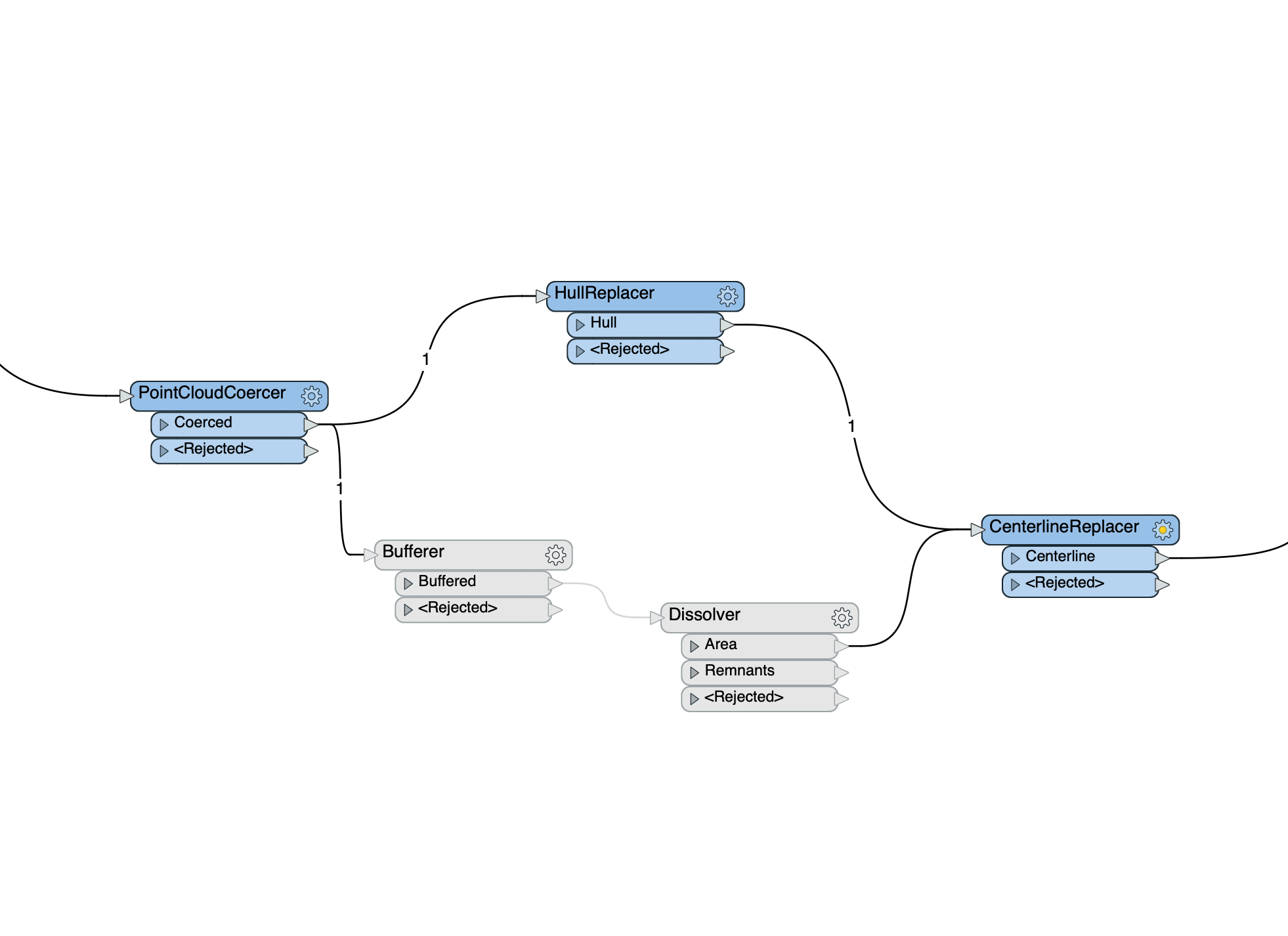
Creating a point cloud with some sorting has resulted in a multipoint geometry that does a decent representation of the shore lines. Up until this stage the workspace is blazingly fast.

But in the next step it becomes painstakingly slow. I have tried both creating a hull around the multipoints as well as buffering them. The former was slightly faster but still very slow.

Are there other methods that might process faster?


pointcloud2vector


1 reply

Badge +1

I'm not sure if it would be faster, so you should try it out on your dataset.


Instead of using the PointCloudCoercer, you could try to rasterize the pointcloud using the NumericRasterizer (make sure the cell size is in correspondence with the point interval of the pointcloud). Then, using the RasterCellValueReplacer, make sure that all shore points share the same value.

After the RasterCellValueRaplacer, use a RasterToPolygonCoercer. Since all shore points share the same value, this should result in a polygon following the contour of the shore. After this, you could use a CenterLineReplacer.

Reply