


So I am noticing that after using a GeometryReplacer, the coordinate system property is lost and gets set to "Unknown" if I first extract with GeoJSON encoding and replace with it later. Is this to be expected?
For context, I have a feature with Coordinate System LL84. I used a GeometryExtractor first (GeoJSON encoding), then replaced the geometry with a BoundingBoxReplacer (coordinate system is retained), then replaced the geometry and that's where I noticed the coordinate system being lost. If I use FME Binary encoding when extracting, the coordinate system is retained after replacing geometry. I don't know enough about coordinate systems but thought that the coordinate system should be preserved without having to re-set again, regardless of the encoding used. Thanks.


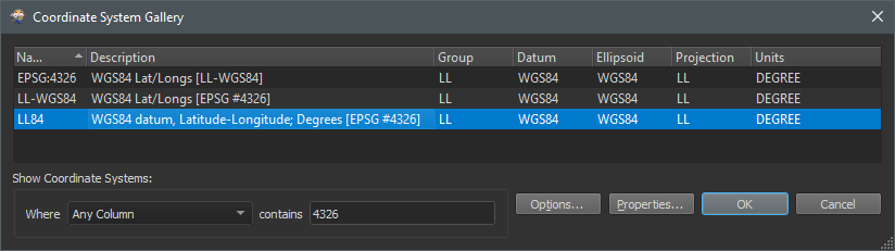 The EPSG codes are here to help GIS software to function, where a code is less interpretable than a name / description. When checking the