Hello,
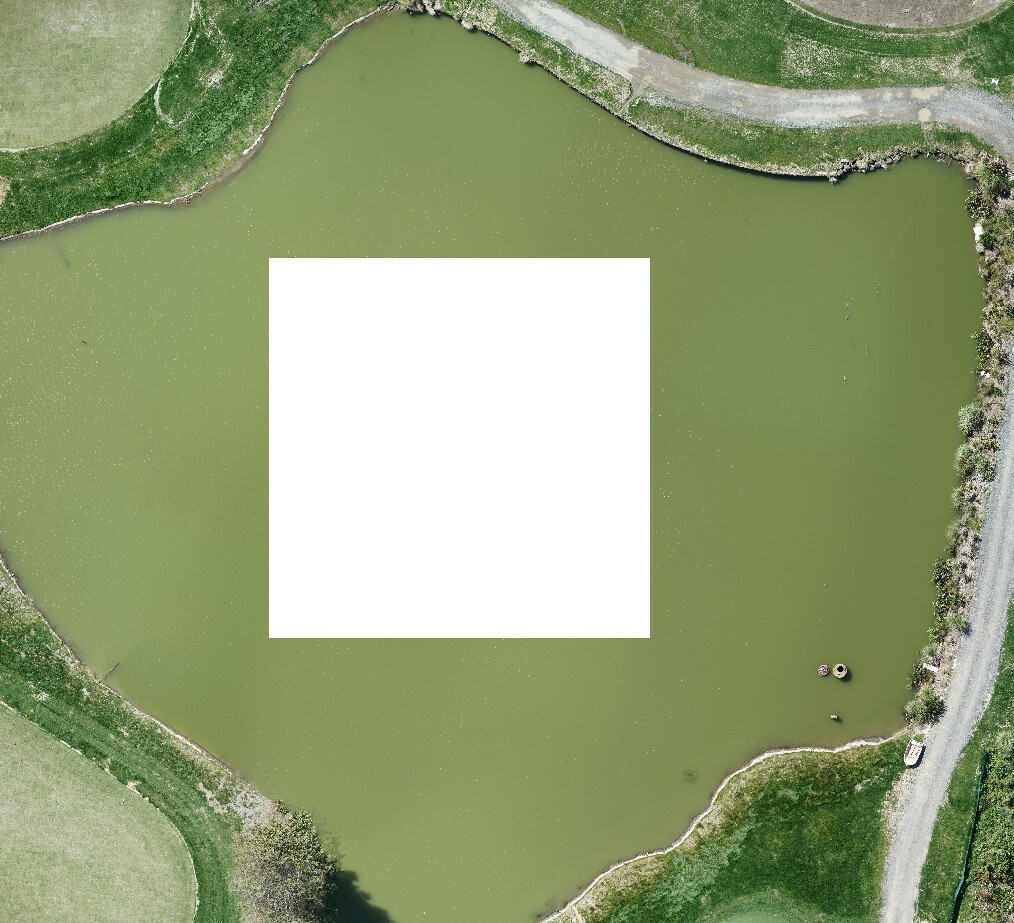
I have an ortho image from a drone flight and looking into filling in the square in the middle of the pond (underestimated the correlation between the area of the pond and flight altitude). Photoshop is the last resort.
I looked into using aerial images from the past as a background but the pond change dramatically so it's a no go.
Cheers,