Question

WebMapTiler transformer numbering

  • 27 December 2013
  • 3 replies
  • 8 views

Hi FME's heroes,


I've got a question about the webmaptiler transformer.


I'm trying to generate tiles for a Google Maps API map but the numbering in output does not match to what I expect. I read the doc and tested the different attributes fanout, the different schemes, but I'm still stuck...


I expect that (generated with QGIS) :
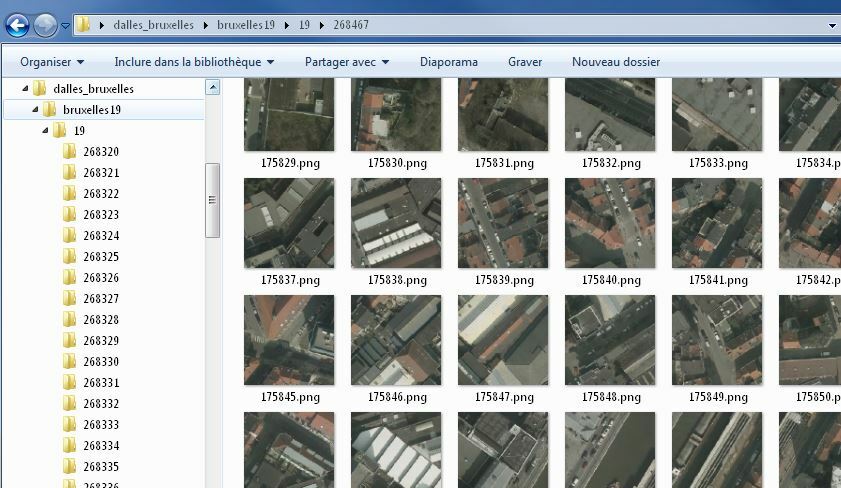


But I get only 
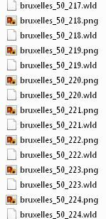


Any idea how to do ?


Thank you from France for your help

3 replies

Userlevel 4
Badge +13
Hi AymFR17


You should be able to reproduce this structure in FME with a combination of:


- the AttributeCreator which can be used to make attributes combining the various quadkey, zoom level, row and column attributes needed


- fanout feature type which will make files based on attribute values


- fanout dataset which will make directories based on attribute values


Looking at your screen shot I can't quite make out the scheme you are hoping to replicate. Can you tell me the zoom level and the approximate location in Sperical Mercator coordinates and I can likely give you more detail on how to acheive this.


Thanks


Ken
Thanks for your answer Ken.


Here are some more informations :


- Zoom level wanted : 19 only


- Approximate location is over Brussels in Belgium, in EPSG 3857 : X 150000, Y 170000


It looks like each folder name is the column and each PNG name is the row according to this site : http://www.maptiler.org/google-maps-coordinates-tile-bounds-projection/


Thanks
Nice, it works perfectly !


Thank you for your help Ken


Reply