Question

Reverse Geocoding

  • 30 October 2019
  • 5 replies
  • 24 views

Hello.. I have a bunch of properties across BC stored as a table in SQL studio where the address fields are null. I don't know how to find the address. I have gdb files of the parcels and have latitude longitude information as well but i do not know to use these to extract the address. Is there any way to be able to do this without any cost. Is there a way to create own geocoder? Any suggestion.?

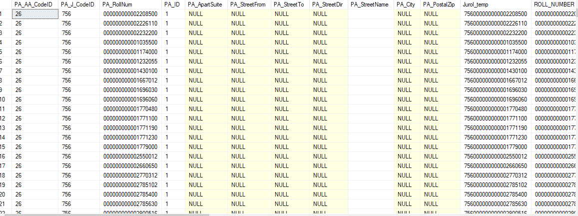
These are the tables I have. Basically I am looking in to populate these fields.

[PA_ApartSuite] ,[PA_StreetFrom] ,[PA_StreetTo] ,[PA_StreetDir] ,[PA_StreetName] ,[PA_City]

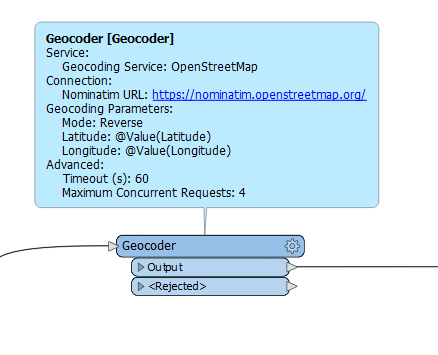
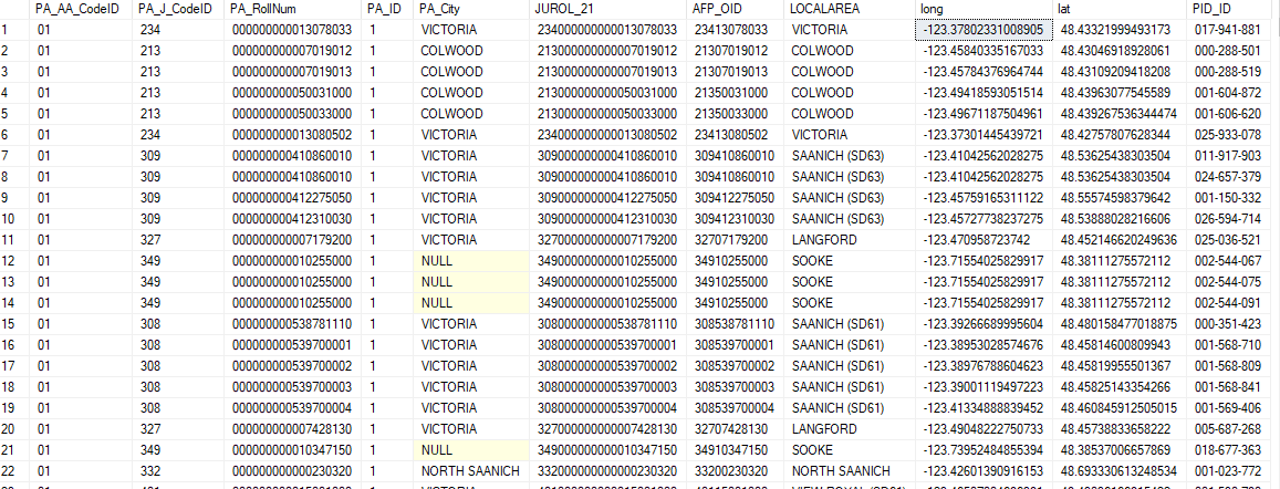
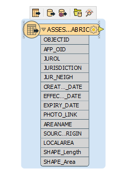
I have around 100K properties to be reverse geocoded. Also the lat long information was extracted using the Assesment Fabric Gdb file shown below.

I also have geodatabase file for all the parcels across BC.. Don't know if it can be put to use in anyway..Also, I do have QGIS but not ArcGIS.

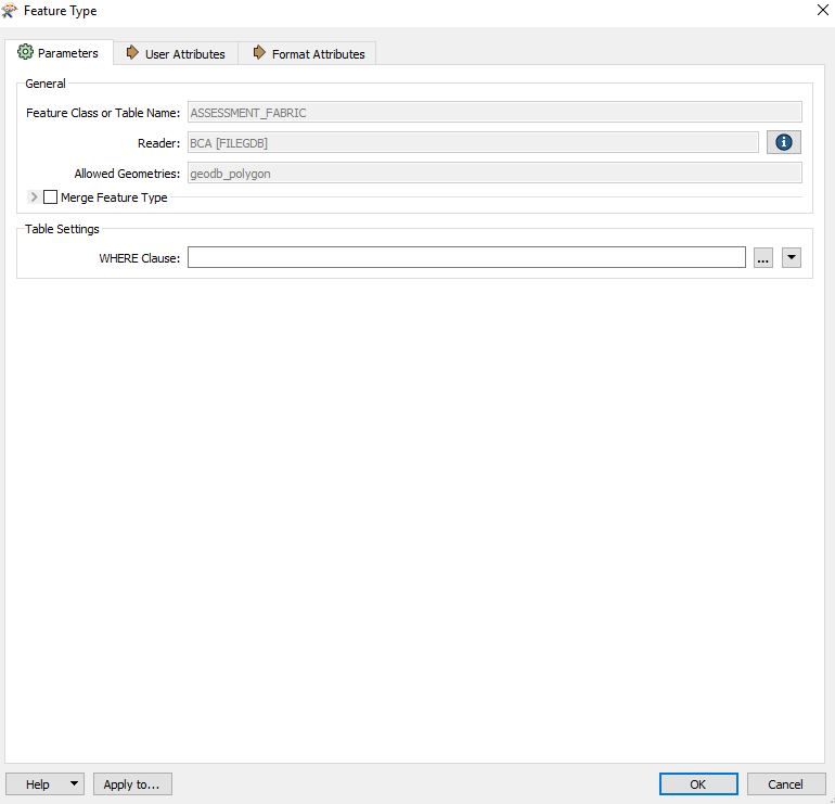
Any help will be much appreciated. Thanks in advance


5 replies

Badge +8

Hi @vakansha


I would recommend going through this article to see if it helps with your dataset.

https://knowledge.safe.com/articles/70839/geocoding-addresses.html


Userlevel 2
Badge +11

Hi @vakansha,

I think the Geocoder is what you're looking for. You can set the transformer parameter to be 'Reverse' and assign the Latitude and Longitude attributes.

Considering you're looking to do this at no cost, you can get mixed results with your output, however I would start with Open Street Maps.


I hope this helps.

I did know about geocoder but it would stop after processing some 1300 records so i was looking for something else.

Userlevel 2
Badge +11

I did know about geocoder but it would stop after processing some 1300 records so i was looking for something else.

Did it provide a reason as to why it stopped at 1300 records? Are you able to provide a log file and/or what parameters you were using?

Badge +8

I did know about geocoder but it would stop after processing some 1300 records so i was looking for something else.

Hi @vakansha


Geocoder transformer used different services and present a link about each service to their license agreement.

For OpenStreetMap free tier https://operations.osmfoundation.org/policies/nominatim/, requirements are No heavy usage (an absolute maximum of 1 request per second)

For large volume as you are dealing with its recommended to install your own Nominatim server https://wiki.openstreetmap.org/wiki/Nominatim/Installation

I did notice that HERE provide the best solution with 250K transaction under their free tier plan for your workflow https://developer.here.com/pricing, but I would highly recommend to please check Licensing Term agreement


Reply