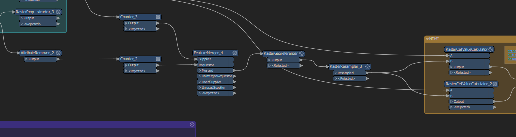
Problem: I download rasters (satellite images) with differten extends (but overlapping) and different cellsizes. I can not get them to align, whatever I do. I tried:
- setting the largest to 'nodata' and using the rastermosaicer. I get an error showing a different number of rows. I also tried it by setting all data to 0 and using the target raster in mosaicer with 'maxiumum' as setting.
- The above for both rasters (I was running out of ideas)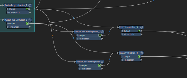
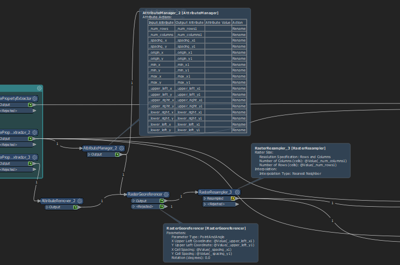
- Exposing the raster properties of one raster and trying to use the raster resampler to resample the second raster: I get a rejected raster with this weird error: @%0: Failed to obtain raster from feature. Only features with raster geometry are expected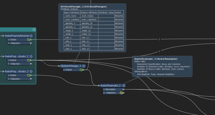
- Exposing the raster properties and using the raster georeferencer (the raster gets rejected INVALID_FEATURE_ATTRIBUTES)
and many, many more things. I can not get them to align and could use some help
FME version 2020.0.0.1