Hi,
I am trying to do a spatialJoin between a records table with lat, lon coordinates that lives on AWS Redshift, and a shapefile that lives on my local PC.
The final goal is for this join to then be imported into tableau and visualize the data as a choropleth map showing number of records per shape.
However, for some reason this is failing for me and I have no idea why.
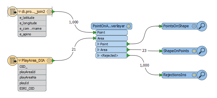
Below is the ETL diagram:

As you can see no output is going to inspector called PointsOnShape - suggesting that no point found any match with the shapes. I have plot the points and shapes on tableau and there's definitely overlap.
ShapeOnPoints Inspector shows also no overlap, and gives an error:

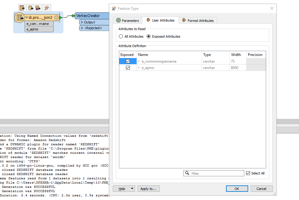
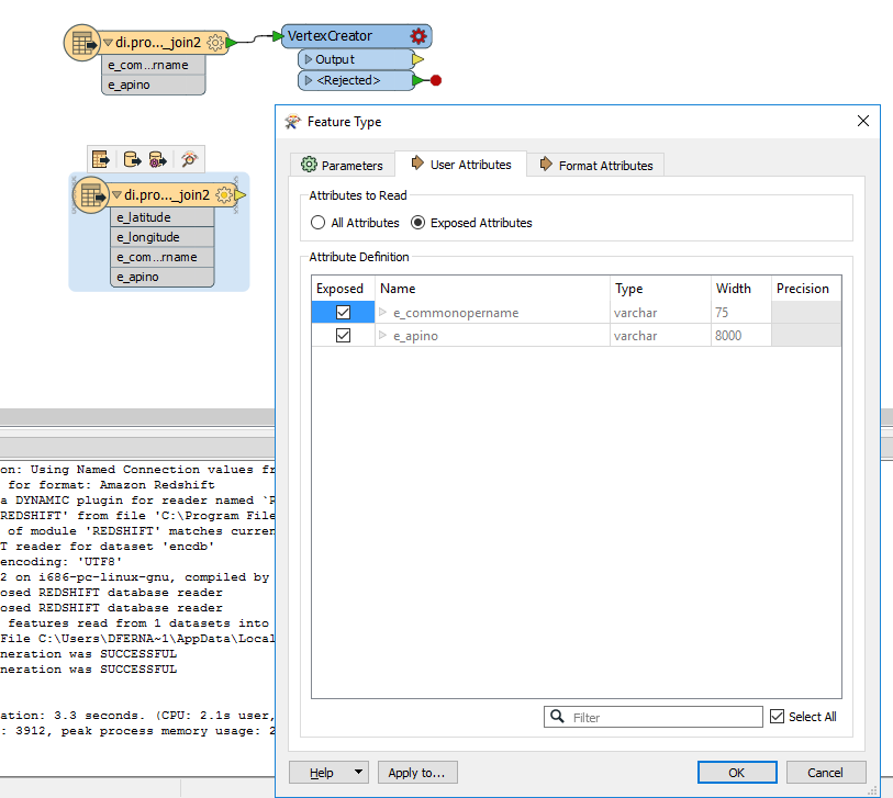
On the other hand the RejectionsIns shows a clear error: INVALID_POINT_GEOMETRY_VERTICES. But I have no idea how to handle it or what I may be doing wrong.

This is just part of my ETL workflow because ideally I'd write this data to redshift and then consume it in Tableau but wanted to start by fixing this issue.
Thanks!


