

Is it possible to read the coordinate system from the input features and use it as source for the ESRI reprojector? Background is, that I don't want to define a transformer for each UTM zone as the destination coordinate system and the geographic transformation will be identical for all, so it would make sense to read the source coordinate system from the input files. Unfortunately I have no idea how to realize this. I've tried a User parameter, but I have no idea how to dynamically populate this value with the source coordinate system.
Best answer by mark2atsafe
View original


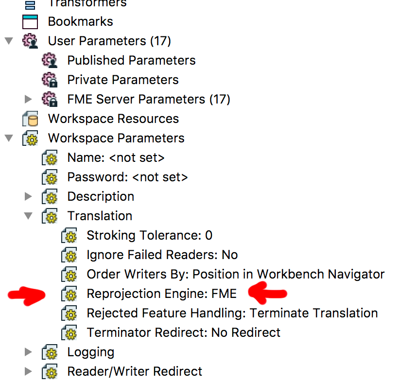 The options that are offered there are the installed projection libraries, so it's FME, ESRI or BMG off the top of my head.

