I'm a first time poster and newbie FME user and hoping someone might have some ideas to help me solve what it a fairly simple task but incredibly time intensive without coding or the use of FME.
I need to download and then process just over 150 shapefiles that are posted on an open website. The state of Massachusetts posts building footprints on their website for download. I need to download each file and combine them into one large geodatabase. I have some additional processing and attribute changes I need to do in the middle but have a good handle on that stuff.
What I'm thinking is:
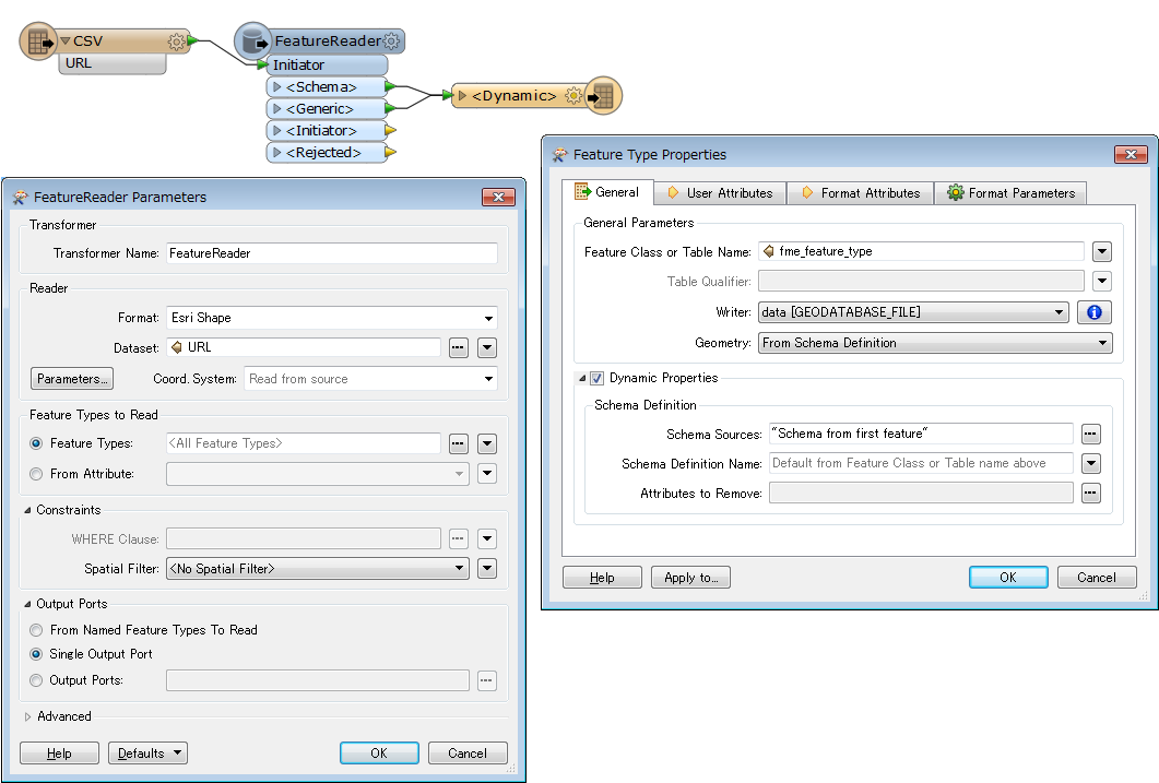
- Store the URL strings for each of the file downloads in a CSV file
- Somehow leverage the HTTP caller to iterate through each of the URLs in the CSV and pull the shapefiles into my workspace.
- From there feed each file into a shapefile reader and then move forward with my processing and writing to geodatabase.
Here is the website where the data are housed - http://goo.gl/Jzo0QK
Any thoughts on how to pull each file and combine it into one geodatabase would be greatly appreciated.
Thanks,
~Ben