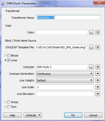
Issue: I have GIS data (inside sequel server) that I need to load into AutoCAD (dwg) on a weekly basis. I had successfully done this when the data was being dumped into DGN's but now we are switching to AutoCAD. I thought I would be able to switch all my DGNStylers to DWGStylers but there appears to be more to it?
The main issues are the point features need to be represented as blocks.... I have tried saving my old DGNs as DWGs then pathing to that file in the DWGStyler but it does not grab the symbology?
If I don't set any parameters in the DWGStyler, it will bring the point across, just will not associate with a symbol?