
I have 1000 LAZ files and need to create a grid of the extents including the file name attribute. What would be the easiest method do carry this out?


Userlevel 3
 +17
+17
- Safer
- 590 replies
-
2 March 2018

Hi @robertdbuckley
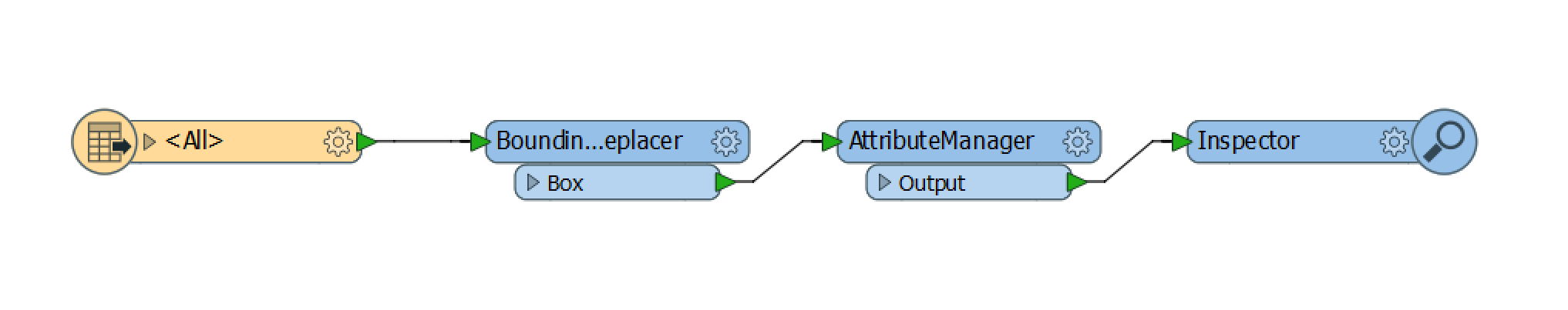
You could add a LAS reader as a Single Merged Feature Type. Add a BoundingBoxReplacer and an AttributeManager. The fme_basename attribute will be the name of your file. Rename your attribute if you wish.
Hope this helps,
Debbi
Reply
Enter your username or e-mail address. We'll send you an e-mail with instructions to reset your password.