Hi FME Community! We’re back with another Question of the Week. If you missed our first question last week, check it out here.

Every week, we’ll post a simple but thought-provoking question that could be about your FME journey, the power of spatial data, FME innovation, or the future of FME.

Each weekly question you answer earns you an entry in our monthly draw for exclusive Safe swag and points toward badges! Answer your first question and you’ll get the Socializer (Ice Breaker) badge. Answer five questions and you’ll get the Socializer (Talker) badge.

Let’s get to it! What is a recent FME win you had? Tell us in the comments below.

Cheers,

The Safe Community Team

I used the HTTP caller and JSON fragmenter to extract crop suitability data for soils in Queensland. Our agricultural land classification layer contains details of soils surveys, and the soils data contains a suitability rating for various crops linked by a soils project and polygon number. Using FME allowed me to create a dataset that combine both and spatialised it, making it much easier to create a suitability map for selected crops.


We recently reported a very interesting challenge with our client Florestal. The objective was to perform real-time extraction of data generated in the field from John Deere machinery. With a lot of study of the manufacturer's documentation, we successfully studied and implemented this connection in FME: FME Form + FME Flow.


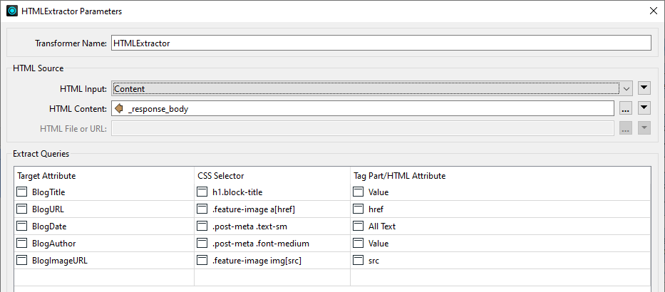
The HTMLExtractor was really useful recently in letting me extract information from a website. ChatGPT even helped me create the CSS queries to use!


Using the ParameterFetcher Transformer was really helpful to store value(s) chosen by a user from User Parameters instead of the User Parameters directly to manipulate a workflow I was working on.


I had to download a large dataset of LiDAR data, and used the HttpCaller to access the suppliers API. Thanks to FME I could keep track of which files were already downloaded in the case of a failure. The script ran for about a week, but FME didn’t fail a single time ;-)


Using FME to create INSPIRE GML from different data sources, also incorporating error checking in the process.


At a customers office recently for a day of on-site consultancy / training. As we were wrapping up one of the guys complained he “had to continue to manually edit thousands of polygons the next day”. Offered to give it a try in FME and with about half an hour of experimenting I was able to cut his workload in half, saving him dozens of hours.


Reply