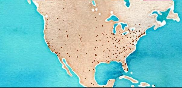
I've gotten further but the transformed citygml is not projected correctly. Using Data Inspector my shapefile is CS_NAME: _LL-WGS84_ and I've left the Coordinate System as <not set>
When I inspect the generated citygml inside of FME Workbench it looks correct
When I open the citygml file into QGIS, it looks like this where all the geometry is at the south pole.
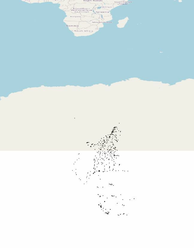
Any ideas what is happening here?
I've gotten further but the transformed citygml is not projected correctly. Using Data Inspector my shapefile is CS_NAME: _LL-WGS84_ and I've left the Coordinate System as <not set>
When I inspect the generated citygml inside of FME Workbench it looks correct
When I open the citygml file into QGIS, it looks like this where all the geometry is at the south pole.
Any ideas what is happening here?
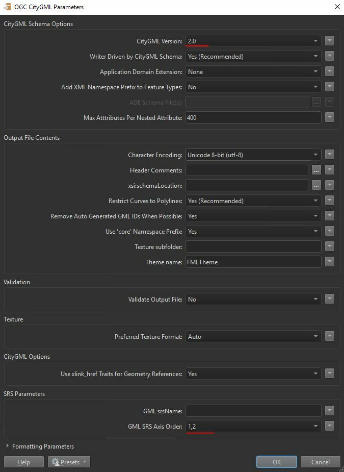
Did you make any progress? it could be that the axis are flipped in the output file. There is a setting on the writer to specify the Srs axis or something. check that out.
Otherwise I'd also suggest using a projection like SPHERICAL_MECATOR or something to keep it in meters. Might make it easier
Did you make any progress? it could be that the axis are flipped in the output file. There is a setting on the writer to specify the Srs axis or something. check that out.
Otherwise I'd also suggest using a projection like SPHERICAL_MECATOR or something to keep it in meters. Might make it easier
I ended up using a CoordinateSwapper before the writer to correct the issue. Seems weird that I had to do that but I'll check out the Srs axis options. Thanks!
Here changes to the writer worked for me