Hello Experts,
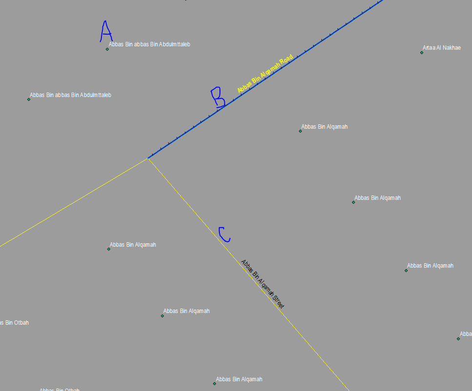
I have 3 files
A: Point File
B : Line file (Street)
C : Line file (Street2)
I have extracted Street names from the A point file and transferred them to the closest street B. But unfortunately, the street names have been populated to streets within provided distance. This has caused superfluous names to the streets. I need to populate the street name to the streets where the names are missing, but it also should not be available in the polyline file C. Basically i want to identify the superfluous names.
Any help would be highly appreciated


