I try to recreate a raster using FME which was originally produced using GlobalMapper. The input is a pointcloud, I use the NumericRasterizer and then send it to the GeoTIFF FeatureWriter. We visualize the result in ArcMap 10.7.
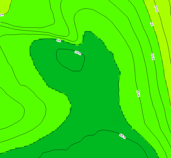
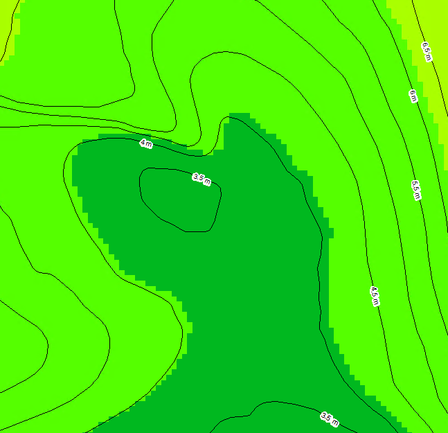
We also have contours generated. When I zoom in to a contour line it looks like the new raster is slightly shifted:
GlobalMapper
 FME
FME
 I did some googling and tried different settings using the RasterCellOriginSetter but this does not seem to change anything. What can I do to fix this?
Update:
I can't reproduce this issue in QGIS so it looks like it is not correctly interpreted by ArcMap.


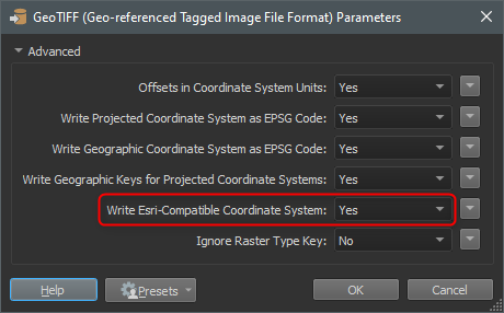
 I was so convinced it had to do with the cell origin I forgot to look further.